Shaykh al Ḩadīd geodata
Shaykh al Ḩadīd (Aleppo) is a seat of a third-order administrative division; located in Syria in Asia/Damascus (GMT+3) time zone. In our database, there are 87 cities with bigger population. Compared to other cities in Syria, 89.4% of cities are located further ↓South; 50.5% of cities are located further ←West and 76.7% of cities have higher elevation than Shaykh al Ḩadīd. Note1


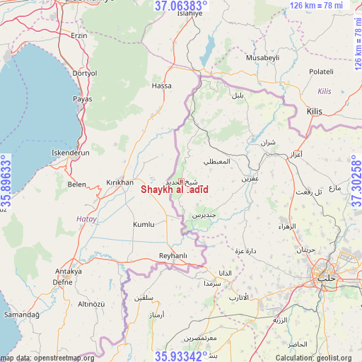
Shaykh al Ḩadīd GPS coordinates[2]
36° 30' 2.484" North, 36° 35' 58.02" East
| Map corner | latitude | longitude |
|---|---|---|
| Upper-left | 37.06383°, | 35.89633° |
| Center: | 36.50069°, | 36.59945° |
| Lower-right: | 35.93342°, | 37.30258° |
| Map W x H: | 125.7×125.7 km | = 78.1×78.1mi |
| max Lat: | 37.17701° ⇑10.6% North |
| Shaykh al Ḩadīd: | 36.50069° |
| min Lat: | ⇓89.4% South 32.39332° |
| min Long | Shaykh al Ḩad | max Long |
| 35.75572° | 36.59945° | 42.14006° |
| W 50.5%⇐ | ⇒49.5% E |
Elevation
Elevation of Shaykh al Ḩadīd is 320 m = 1050 ft, and this is 209.1 m = 686 ft below average elevation for this country.
| Max E: |
1640 m = 5381 ft | 76.7% |
| Avg. | 529.1 m = 1736 ft | |
| Shaykh al Ḩadīd | 320 m = 1050 ft | |
Min E: |
4 m = 13 ft | 23.3% |
See also: Syria elevation on elevation.city.
Geographical zone
Shaykh al Ḩadīd is located in North temperate zone (between Tropic of Cancer and the Arctic Circle). Distance of this Northern Tropic circle is 1452.6 km =902.6 mi to South.| Distance of | km | miles | from Shaykh al Ḩadīd |
|---|---|---|---|
| North Pole | 5948.6 | 3696.3 | to North |
| Arctic Circle | 3342.7 | 2077.1 | to North |
| Tropic Cancer | 1452.6 | 902.6 | to South |
| Equator | 4058.5 | 2521.8 | to South |


Nearby cities:
15 places around Shaykh al Ḩadīd: (largest is in red/bold)
• Ad Dānā
35.5 km =22.1 mi,  154°
154°
• Al Ma‘baţlī
14.5 km =9 mi,  61°
61°
• Bulbul
35.8 km =22.2 mi,  33°
33°
• Dārat ‘Izzah
33.2 km =20.6 mi,  137°
137°
• I‘zāz
41 km =25.5 mi,  76°
76°
• Jindayris
14.2 km =8.8 mi, 145°
• Kafr Takhārīm
43.3 km =26.9 mi,  190°
190°
• Nubl
37.7 km =23.4 mi,  111°
111°
• Qarqania
40.3 km =25 mi,  178°
178°
• Qenterê
13.5 km =8.4 mi, 58°
• Radjun
20.3 km =12.6 mi,  16°
16°
• Salqīn
42.4 km =26.3 mi,  198°
198°
• Sharān
33.1 km =20.6 mi,  65°
65°
• Ḩārim
32.9 km =20.4 mi, 192°
• ‘Afrīn
24.2 km =15 mi,  87°
87°
Sources, notices
• [Note1] Compared only with cities in Syria existing in our database
• [Src1] Map data: © OpenStreetMap contributors (CC-BY-SA)
• [Src2] Other city data from geonames.org with taken over terms of usage.
• [Src3] Geographical zone / Annual Mean Temperature by Robert A. Rohde @ Wikipedia
