Fao Rai geodata
Fao Rai (Nong Khai) is a seat of a second-order administrative division; located in Thailand in Asia/Bangkok (GMT+7) time zone. In our database, there are 331 cities with bigger population. Compared to other cities in Thailand, 88.8% of cities are located further ↓South; 83% of cities are located further ←West and 76.6% of cities have lower elevation than Fao Rai. Note1


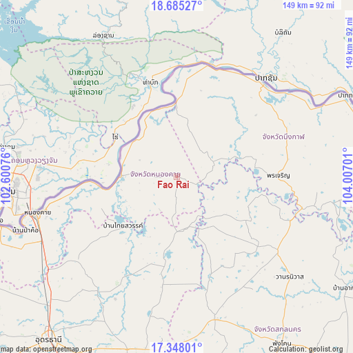
Fao Rai GPS coordinates[2]
18° 1' 4.476" North, 103° 18' 13.968" East
| Map corner | latitude | longitude |
|---|---|---|
| Upper-left | 18.68527°, | 102.60076° |
| Center: | 18.01791°, | 103.30388° |
| Lower-right: | 17.34801°, | 104.00701° |
| Map W x H: | 148.7×148.7 km | = 92.4×92.4mi |
| max Lat: | 20.43353° ⇑11.2% North |
| Fao Rai: | 18.01791° |
| min Lat: | ⇓88.8% South 5.77434° |
| min Long | Fao Rai | max Long |
| 97.93288° | 103.30388° | 105.49506° |
| W 83%⇐ | ⇒17% E |
Elevation
Elevation of Fao Rai is 186 m = 610 ft, and this is 60.5 m = 198 ft above average elevation for this country.
| Max E: |
1011 m = 3317 ft | 23.4% |
| Fao Rai | 186 m 610 ft | |
| Avg. | 125.5 m = 412 ft | |
Min E: |
1 m = 3 ft | 76.6% |
See also: Thailand elevation on elevation.city.
Geographical zone
Fao Rai is located in North Torrid zone (between Equator and Tropic of Cancer). Distance of this Northern Tropic circle is 602.5 km =374.4 mi to North.| Distance of | km | miles | from Fao Rai |
|---|---|---|---|
| North Pole | 8003.7 | 4973.3 | to North |
| Arctic Circle | 5397.8 | 3354 | to North |
| Tropic Cancer | 602.5 | 374.4 | to North |
| Equator | 2003.4 | 1244.9 | to South |


Nearby cities:
15 places around Fao Rai: (largest is in red/bold)
• Ban Dung
35.8 km =22.2 mi,  187°
187°
• Ban Muang
33.7 km =20.9 mi,  123°
123°
• Bueng Kan
53.1 km =33 mi,  43°
43°
• Charoen Sin
54.8 km =34.1 mi,  152°
152°
• Kham Ta Kla
51.3 km =31.9 mi,  111°
111°
• Pak Khat
32 km =19.9 mi,  0°
0°
• Pakkhat
31.1 km =19.3 mi, 0°
• Phon Charoen
14.6 km =9.1 mi,  276°
276°
• Phon Charoen
43 km =26.7 mi,  87°
87°
• Phon Phisai
24 km =14.9 mi,  270°
270°
• Phonphisai
24 km =14.9 mi, 270°
• Rattanawapi
25.4 km =15.8 mi,  328°
328°
• Sang Khom
30.9 km =19.2 mi,  226°
226°
• Si Wilai
50.3 km =31.3 mi,  68°
68°
• So Phisai
16.1 km =10 mi, 65°
Sources, notices
• [Note1] Compared only with cities in Thailand existing in our database
• [Src1] Map data: © OpenStreetMap contributors (CC-BY-SA)
• [Src2] Other city data from geonames.org with taken over terms of usage.
• [Src3] Geographical zone / Annual Mean Temperature by Robert A. Rohde @ Wikipedia
