Yasothon geodata
Yasothon is a seat of a first-order administrative division; located in Thailand in Asia/Bangkok (GMT+7) time zone. With population of 21,643 people, there are 148 cities with bigger population in this country. Compared to other cities in Thailand, 62.5% of cities are located further ↓South; 92.1% of cities are located further ←West and 54.5% of cities have lower elevation than Yasothon. Note1


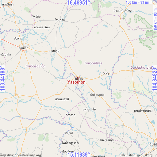
Yasothon GPS coordinates[2]
15° 47' 38.688" North, 104° 8' 42.36" East
| Map corner | latitude | longitude |
|---|---|---|
| Upper-left | 16.46951°, | 103.44198° |
| Center: | 15.79408°, | 104.1451° |
| Lower-right: | 15.11639°, | 104.84823° |
| Map W x H: | 150.5×150.5 km | = 93.5×93.5mi |
| max Lat: | 20.43353° ⇑37.5% North |
| Yasothon: | 15.79408° |
| min Lat: | ⇓62.5% South 5.77434° |
| min Long | Yasothon | max Long |
| 97.93288° | 104.1451° | 105.49506° |
| W 92.1%⇐ | ⇒7.9% E |
Elevation
Elevation of Yasothon is 135 m = 443 ft, and this is 9.5 m = 31 ft above average elevation for this country.
| Max E: |
1011 m = 3317 ft | 45.5% |
| Yasothon | 135 m 443 ft | |
| Avg. | 125.5 m = 412 ft | |
Min E: |
1 m = 3 ft | 54.5% |
See also: Thailand elevation on elevation.city.
Geographical zone
Yasothon is located in North Torrid zone (between Equator and Tropic of Cancer). Distance of this Northern Tropic circle is 849.8 km =528 mi to North.| Distance of | km | miles | from Yasothon |
|---|---|---|---|
| North Pole | 8250.9 | 5126.9 | to North |
| Arctic Circle | 5645 | 3507.6 | to North |
| Tropic Cancer | 849.8 | 528 | to North |
| Equator | 1756.1 | 1091.2 | to South |


Nearby cities:
15 places around Yasothon: (largest is in red/bold)
• At Samat
29 km =18 mi,  280°
280°
• Ban Selaphum
32.4 km =20.1 mi,  319°
319°
• Hua Taphan
38.6 km =24 mi,  106°
106°
• Kham Khuean Kaeo
23.6 km =14.7 mi,  132°
132°
• Kut Chum
33.7 km =20.9 mi,  38°
38°
• Maha Chana Chai
31.1 km =19.3 mi,  161°
161°
• Nong Hi
25.9 km =16.1 mi,  218°
218°
• Pa Tio
26.2 km =16.3 mi,  80°
80°
• Phanom Phrai
13.5 km =8.4 mi,  196°
196°
• Phon Sai
37.6 km =23.4 mi,  205°
205°
• Sai Mun
18.1 km =11.2 mi,  21°
21°
• Selaphum
34.3 km =21.3 mi, 319°
• Sila Lat
36.7 km =22.8 mi,  192°
192°
• Suwannaphum
42.4 km =26.3 mi,  240°
240°
• Thung Khao Luang
37.5 km =23.3 mi,  306°
306°
Sources, notices
• [Note1] Compared only with cities in Thailand existing in our database
• [Src1] Map data: © OpenStreetMap contributors (CC-BY-SA)
• [Src2] Other city data from geonames.org with taken over terms of usage.
• [Src3] Geographical zone / Annual Mean Temperature by Robert A. Rohde @ Wikipedia
