Sai Mun geodata
Sai Mun (Yasothon) is a seat of a second-order administrative division; located in Thailand in Asia/Bangkok (GMT+7) time zone. In our database, there are 331 cities with bigger population. Compared to other cities in Thailand, 64.7% of cities are located further ↓South; 92.8% of cities are located further ←West and 63.5% of cities have lower elevation than Sai Mun. Note1


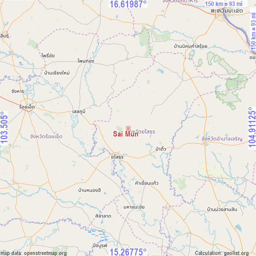
Sai Mun GPS coordinates[2]
15° 56' 41.82" North, 104° 12' 29.232" East
| Map corner | latitude | longitude |
|---|---|---|
| Upper-left | 16.61987°, | 103.505° |
| Center: | 15.94495°, | 104.20812° |
| Lower-right: | 15.26775°, | 104.91125° |
| Map W x H: | 150.3×150.3 km | = 93.4×93.4mi |
| max Lat: | 20.43353° ⇑35.3% North |
| Sai Mun: | 15.94495° |
| min Lat: | ⇓64.7% South 5.77434° |
| min Long | Sai Mun | max Long |
| 97.93288° | 104.20812° | 105.49506° |
| W 92.8%⇐ | ⇒7.2% E |
Elevation
Elevation of Sai Mun is 156 m = 512 ft, and this is 30.5 m = 100 ft above average elevation for this country.
| Max E: |
1011 m = 3317 ft | 36.5% |
| Sai Mun | 156 m 512 ft | |
| Avg. | 125.5 m = 412 ft | |
Min E: |
1 m = 3 ft | 63.5% |
See also: Thailand elevation on elevation.city.
Geographical zone
Sai Mun is located in North Torrid zone (between Equator and Tropic of Cancer). Distance of this Northern Tropic circle is 833 km =517.6 mi to North.| Distance of | km | miles | from Sai Mun |
|---|---|---|---|
| North Pole | 8234.1 | 5116.4 | to North |
| Arctic Circle | 5628.3 | 3497.3 | to North |
| Tropic Cancer | 833 | 517.6 | to North |
| Equator | 1772.9 | 1101.6 | to South |


Nearby cities:
15 places around Sai Mun: (largest is in red/bold)
• Amnat Charoen
46 km =28.6 mi,  102°
102°
• At Samat
37 km =23 mi,  252°
252°
• Ban Selaphum
28.7 km =17.8 mi,  286°
286°
• Hua Taphan
41 km =25.5 mi,  132°
132°
• Kham Khuean Kaeo
34.3 km =21.3 mi,  161°
161°
• Kut Chum
17.1 km =10.6 mi,  55°
55°
• Maha Chana Chai
46.3 km =28.8 mi,  175°
175°
• Nong Hi
43.6 km =27.1 mi,  211°
211°
• Nong Phok
40.6 km =25.2 mi,  359°
359°
• Pa Tio
22.8 km =14.2 mi,  123°
123°
• Phanom Phrai
31.5 km =19.6 mi,  199°
199°
• Selaphum
30.4 km =18.9 mi, 288°
• Thai Charoen
28.2 km =17.5 mi, 61°
• Thung Khao Luang
37.3 km =23.2 mi,  278°
278°
• Yasothon
18.1 km =11.2 mi, 201°
Sources, notices
• [Note1] Compared only with cities in Thailand existing in our database
• [Src1] Map data: © OpenStreetMap contributors (CC-BY-SA)
• [Src2] Other city data from geonames.org with taken over terms of usage.
• [Src3] Geographical zone / Annual Mean Temperature by Robert A. Rohde @ Wikipedia
