That Phanom geodata
That Phanom (Nakhon Phanom) is a seat of a second-order administrative division; located in Thailand in Asia/Bangkok (GMT+7) time zone. With population of 14,424 people, there are 226 cities with bigger population in this country. Compared to other cities in Thailand, 77.3% of cities are located further ↓South; 96.8% of cities are located further ←West and 59.5% of cities have lower elevation than That Phanom. Note1


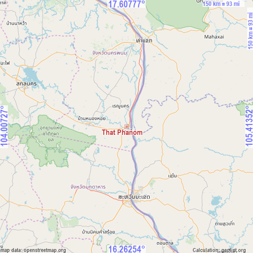
That Phanom GPS coordinates[2]
16° 56' 10.896" North, 104° 42' 37.404" East
| Map corner | latitude | longitude |
|---|---|---|
| Upper-left | 17.60777°, | 104.00727° |
| Center: | 16.93636°, | 104.71039° |
| Lower-right: | 16.26254°, | 105.41352° |
| Map W x H: | 149.6×149.6 km | = 93×93mi |
| max Lat: | 20.43353° ⇑22.7% North |
| That Phanom: | 16.93636° |
| min Lat: | ⇓77.3% South 5.77434° |
| min Long | That Phanom | max Long |
| 97.93288° | 104.71039° | 105.49506° |
| W 96.8%⇐ | ⇒3.2% E |
Elevation
Elevation of That Phanom is 147 m = 482 ft, and this is 21.5 m = 71 ft above average elevation for this country.
| Max E: |
1011 m = 3317 ft | 40.5% |
| That Phanom | 147 m 482 ft | |
| Avg. | 125.5 m = 412 ft | |
Min E: |
1 m = 3 ft | 59.5% |
See also: Thailand elevation on elevation.city.
Geographical zone
That Phanom is located in North Torrid zone (between Equator and Tropic of Cancer). Distance of this Northern Tropic circle is 722.8 km =449.1 mi to North.| Distance of | km | miles | from That Phanom |
|---|---|---|---|
| North Pole | 8123.9 | 5048 | to North |
| Arctic Circle | 5518 | 3428.7 | to North |
| Tropic Cancer | 722.8 | 449.1 | to North |
| Equator | 1883.1 | 1170.1 | to South |


Nearby cities:
15 places around That Phanom: (largest is in red/bold)
• Dong Luang
22.7 km =14.1 mi,  233°
233°
• Khamcha-i
50.5 km =31.4 mi,  217°
217°
• Khok Si Suphan
47.8 km =29.7 mi,  284°
284°
• Kusuman
59.7 km =37.1 mi,  317°
317°
• Mukdahan
43.5 km =27 mi,  178°
178°
• Na Kae
22.3 km =13.9 mi,  272°
272°
• Nakhon Phanom
53.2 km =33.1 mi,  7°
7°
• Nong Sung
63.5 km =39.5 mi, 217°
• Phon Na Kaeo
54.8 km =34.1 mi,  305°
305°
• Pla Pak
33.5 km =20.8 mi, 324°
• Renu Nakhon
13.3 km =8.3 mi,  344°
344°
• Sakon Nakhon
64.9 km =40.3 mi,  292°
292°
• Tao Ngoi
58.2 km =36.2 mi, 276°
• Wan Yai
24 km =14.9 mi,  172°
172°
• Wang Yang
30.5 km =19 mi,  296°
296°
Sources, notices
• [Note1] Compared only with cities in Thailand existing in our database
• [Src1] Map data: © OpenStreetMap contributors (CC-BY-SA)
• [Src2] Other city data from geonames.org with taken over terms of usage.
• [Src3] Geographical zone / Annual Mean Temperature by Robert A. Rohde @ Wikipedia
