Nong Sung geodata
Nong Sung (Mukdahan) is a seat of a second-order administrative division; located in Thailand in Asia/Bangkok (GMT+7) time zone. In our database, there are 331 cities with bigger population. Compared to other cities in Thailand, 71.9% of cities are located further ↓South; 94% of cities are located further ←West and 80.6% of cities have lower elevation than Nong Sung. Note1


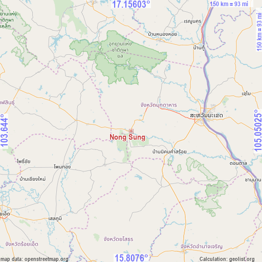
Nong Sung GPS coordinates[2]
16° 28' 58.764" North, 104° 20' 49.632" East
| Map corner | latitude | longitude |
|---|---|---|
| Upper-left | 17.15603°, | 103.644° |
| Center: | 16.48299°, | 104.34712° |
| Lower-right: | 15.8076°, | 105.05025° |
| Map W x H: | 149.9×149.9 km | = 93.1×93.1mi |
| max Lat: | 20.43353° ⇑28.1% North |
| Nong Sung: | 16.48299° |
| min Lat: | ⇓71.9% South 5.77434° |
| min Long | Nong Sung | max Long |
| 97.93288° | 104.34712° | 105.49506° |
| W 94%⇐ | ⇒6% E |
Elevation
Elevation of Nong Sung is 198 m = 650 ft, and this is 72.5 m = 238 ft above average elevation for this country.
| Max E: |
1011 m = 3317 ft | 19.4% |
| Nong Sung | 198 m 650 ft | |
| Avg. | 125.5 m = 412 ft | |
Min E: |
1 m = 3 ft | 80.6% |
See also: Thailand elevation on elevation.city.
Geographical zone
Nong Sung is located in North Torrid zone (between Equator and Tropic of Cancer). Distance of this Northern Tropic circle is 773.2 km =480.4 mi to North.| Distance of | km | miles | from Nong Sung |
|---|---|---|---|
| North Pole | 8174.3 | 5079.3 | to North |
| Arctic Circle | 5568.4 | 3460 | to North |
| Tropic Cancer | 773.2 | 480.4 | to North |
| Equator | 1832.7 | 1138.8 | to South |


Nearby cities:
15 places around Nong Sung: (largest is in red/bold)
• Dong Luang
42.2 km =26.2 mi,  28°
28°
• Huai Phueng
50.2 km =31.2 mi,  291°
291°
• Khamcha-i
13.1 km =8.1 mi,  36°
36°
• Khao Wong
36.5 km =22.7 mi,  311°
311°
• Kuchinarai
32.3 km =20.1 mi,  281°
281°
• Kut Chum
50.1 km =31.1 mi,  180°
180°
• Loeng Nok Tha
37.8 km =23.5 mi,  144°
144°
• Moeiwadi
22.8 km =14.2 mi,  242°
242°
• Mukdahan
40.7 km =25.3 mi,  80°
80°
• Na Khu
46.3 km =28.8 mi, 312°
• Nikhom Kham Soi
25.1 km =15.6 mi,  119°
119°
• Nong Phok
24.7 km =15.3 mi,  218°
218°
• Thai Charoen
47.4 km =29.5 mi,  167°
167°
• Waeng
44.3 km =27.5 mi, 242°
• Wan Yai
49.7 km =30.9 mi,  57°
57°
Sources, notices
• [Note1] Compared only with cities in Thailand existing in our database
• [Src1] Map data: © OpenStreetMap contributors (CC-BY-SA)
• [Src2] Other city data from geonames.org with taken over terms of usage.
• [Src3] Geographical zone / Annual Mean Temperature by Robert A. Rohde @ Wikipedia
