Phen geodata
Phen (Changwat Udon Thani) is a seat of a second-order administrative division; located in Thailand in Asia/Bangkok (GMT+7) time zone. In our database, there are 331 cities with bigger population. Compared to other cities in Thailand, 86% of cities are located further ↓South; 78% of cities are located further ←West and 73.9% of cities have lower elevation than Phen. Note1


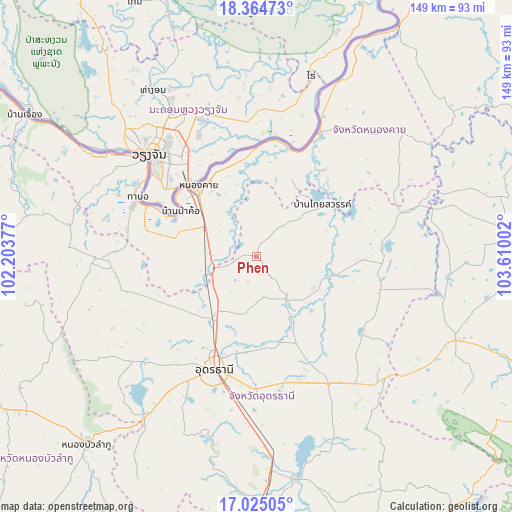
Phen GPS coordinates[2]
17° 41' 46.104" North, 102° 54' 24.804" East
| Map corner | latitude | longitude |
|---|---|---|
| Upper-left | 18.36473°, | 102.20377° |
| Center: | 17.69614°, | 102.90689° |
| Lower-right: | 17.02505°, | 103.61002° |
| Map W x H: | 149×149 km | = 92.6×92.6mi |
| max Lat: | 20.43353° ⇑14% North |
| Phen: | 17.69614° |
| min Lat: | ⇓86% South 5.77434° |
| min Long | Phen | max Long |
| 97.93288° | 102.90689° | 105.49506° |
| W 78%⇐ | ⇒22% E |
Elevation
Elevation of Phen is 180 m = 591 ft, and this is 54.5 m = 179 ft above average elevation for this country.
| Max E: |
1011 m = 3317 ft | 26.1% |
| Phen | 180 m 591 ft | |
| Avg. | 125.5 m = 412 ft | |
Min E: |
1 m = 3 ft | 73.9% |
See also: Thailand elevation on elevation.city.
Geographical zone
Phen is located in North Torrid zone (between Equator and Tropic of Cancer). Distance of this Northern Tropic circle is 638.3 km =396.6 mi to North.| Distance of | km | miles | from Phen |
|---|---|---|---|
| North Pole | 8039.4 | 4995.5 | to North |
| Arctic Circle | 5433.5 | 3376.2 | to North |
| Tropic Cancer | 638.3 | 396.6 | to North |
| Equator | 1967.6 | 1222.6 | to South |


Nearby cities:
15 places around Phen: (largest is in red/bold)
• Ban Dung
37.4 km =23.2 mi,  89°
89°
• Ban Phue
45.4 km =28.2 mi,  268°
268°
• Kut Chap
46.9 km =29.1 mi,  230°
230°
• Nong Han
42.8 km =26.6 mi,  150°
150°
• Nong Khai
26.8 km =16.7 mi,  319°
319°
• Phibun Rak
22.6 km =14 mi,  134°
134°
• Phon Charoen
46.5 km =28.9 mi,  36°
36°
• Phon Phisai
40.3 km =25 mi,  26°
26°
• Phonphisai
40.3 km =25 mi, 26°
• Sa Khrai
16.7 km =10.4 mi,  262°
262°
• Sang Khom
24.4 km =15.2 mi,  53°
53°
• Si Chiang Mai
44.6 km =27.7 mi,  310°
310°
• Tha Bo
38.5 km =23.9 mi,  296°
296°
• Thung Fon
45 km =28 mi,  123°
123°
• Udon Thani
33.7 km =20.9 mi,  202°
202°
Sources, notices
• [Note1] Compared only with cities in Thailand existing in our database
• [Src1] Map data: © OpenStreetMap contributors (CC-BY-SA)
• [Src2] Other city data from geonames.org with taken over terms of usage.
• [Src3] Geographical zone / Annual Mean Temperature by Robert A. Rohde @ Wikipedia
