Na Chueak geodata
Na Chueak (Maha Sarakham) is a seat of a second-order administrative division; located in Thailand in Asia/Bangkok (GMT+7) time zone. In our database, there are 331 cities with bigger population. Compared to other cities in Thailand, 62.4% of cities are located further ↓South; 79.1% of cities are located further ←West and 67.9% of cities have lower elevation than Na Chueak. Note1


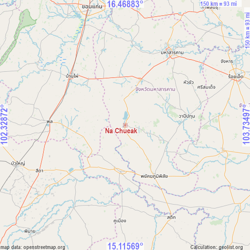
Na Chueak GPS coordinates[2]
15° 47' 36.204" North, 103° 1' 54.624" East
| Map corner | latitude | longitude |
|---|---|---|
| Upper-left | 16.46883°, | 102.32872° |
| Center: | 15.79339°, | 103.03184° |
| Lower-right: | 15.11569°, | 103.73497° |
| Map W x H: | 150.5×150.5 km | = 93.5×93.5mi |
| max Lat: | 20.43353° ⇑37.6% North |
| Na Chueak: | 15.79339° |
| min Lat: | ⇓62.4% South 5.77434° |
| min Long | Na Chueak | max Long |
| 97.93288° | 103.03184° | 105.49506° |
| W 79.1%⇐ | ⇒20.9% E |
Elevation
Elevation of Na Chueak is 165 m = 541 ft, and this is 39.5 m = 130 ft above average elevation for this country.
| Max E: |
1011 m = 3317 ft | 32.1% |
| Na Chueak | 165 m 541 ft | |
| Avg. | 125.5 m = 412 ft | |
Min E: |
1 m = 3 ft | 67.9% |
See also: Thailand elevation on elevation.city.
Geographical zone
Na Chueak is located in North Torrid zone (between Equator and Tropic of Cancer). Distance of this Northern Tropic circle is 849.9 km =528.1 mi to North.| Distance of | km | miles | from Na Chueak |
|---|---|---|---|
| North Pole | 8251 | 5126.9 | to North |
| Arctic Circle | 5645.1 | 3507.7 | to North |
| Tropic Cancer | 849.9 | 528.1 | to North |
| Equator | 1756.1 | 1091.2 | to South |


Nearby cities:
15 places around Na Chueak: (largest is in red/bold)
• Ban Mai Chaiyaphot
32.4 km =20.1 mi,  221°
221°
• Ban Phai
43.7 km =27.2 mi,  312°
312°
• Borabue
29 km =18 mi,  17°
17°
• Kut Rang
33.5 km =20.8 mi,  356°
356°
• Mueang Yang
44 km =27.3 mi,  199°
199°
• Na Dun
22.6 km =14 mi,  112°
112°
• Na Pho
18.8 km =11.7 mi,  206°
206°
• Non Sila
43.6 km =27.1 mi,  297°
297°
• Pathum Rat
37.7 km =23.4 mi,  117°
117°
• Phayakkhaphum Phisai
35.3 km =21.9 mi,  150°
150°
• Phutthaisong
27.3 km =17 mi,  181°
181°
• Prathai
43.9 km =27.3 mi,  228°
228°
• Pueai Noi
15.8 km =9.8 mi, 302°
• Wapi Pathum
37.3 km =23.2 mi,  81°
81°
• Yang Si Surat
14.4 km =8.9 mi, 148°
Sources, notices
• [Note1] Compared only with cities in Thailand existing in our database
• [Src1] Map data: © OpenStreetMap contributors (CC-BY-SA)
• [Src2] Other city data from geonames.org with taken over terms of usage.
• [Src3] Geographical zone / Annual Mean Temperature by Robert A. Rohde @ Wikipedia
