Kalasin geodata
Kalasin is a seat of a first-order administrative division; located in Thailand in Asia/Bangkok (GMT+7) time zone. With population of 55,102 people, there are 48 cities with bigger population in this country. Compared to other cities in Thailand, 71.2% of cities are located further ↓South; 84.7% of cities are located further ←West and 61.8% of cities have lower elevation than Kalasin. Note1


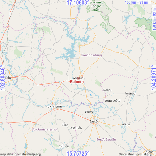
Kalasin GPS coordinates[2]
16° 25' 58.116" North, 103° 30' 23.688" East
| Map corner | latitude | longitude |
|---|---|---|
| Upper-left | 17.10603°, | 102.80346° |
| Center: | 16.43281°, | 103.50658° |
| Lower-right: | 15.75725°, | 104.20971° |
| Map W x H: | 150×150 km | = 93.2×93.2mi |
| max Lat: | 20.43353° ⇑28.8% North |
| Kalasin: | 16.43281° |
| min Lat: | ⇓71.2% South 5.77434° |
| min Long | Kalasin | max Long |
| 97.93288° | 103.50658° | 105.49506° |
| W 84.7%⇐ | ⇒15.3% E |
Elevation
Elevation of Kalasin is 152 m = 499 ft, and this is 26.5 m = 87 ft above average elevation for this country.
| Max E: |
1011 m = 3317 ft | 38.2% |
| Kalasin | 152 m 499 ft | |
| Avg. | 125.5 m = 412 ft | |
Min E: |
1 m = 3 ft | 61.8% |
See also: Kalasin elevation on elevation.city.
Geographical zone
Kalasin is located in North Torrid zone (between Equator and Tropic of Cancer). Distance of this Northern Tropic circle is 778.8 km =483.9 mi to North.| Distance of | km | miles | from Kalasin |
|---|---|---|---|
| North Pole | 8179.9 | 5082.8 | to North |
| Arctic Circle | 5574 | 3463.5 | to North |
| Tropic Cancer | 778.8 | 483.9 | to North |
| Equator | 1827.2 | 1135.4 | to South |


Nearby cities:
15 places around Kalasin: (largest is in red/bold)
• Changhan
34.3 km =21.3 mi,  162°
162°
• Chuen Chom
37.7 km =23.4 mi,  291°
291°
• Don Chan
20.3 km =12.6 mi,  82°
82°
• Huai Mek
33.8 km =21 mi,  301°
301°
• Kamalasai
12.8 km =8 mi,  144°
144°
• Kantharawichai
25.1 km =15.6 mi,  242°
242°
• Khong Chai
19.9 km =12.4 mi,  195°
195°
• Maha Sarakham
35.3 km =21.9 mi,  218°
218°
• Na Mon
33.9 km =21.1 mi,  61°
61°
• Nong Kung Si
32.7 km =20.3 mi,  317°
317°
• Pho Chai
30.4 km =18.9 mi,  112°
112°
• Rong Kham
31.4 km =19.5 mi,  125°
125°
• Sahatsakhan
31.1 km =19.3 mi,  2°
2°
• Somdet
39.8 km =24.7 mi,  40°
40°
• Yang Talat
15.2 km =9.4 mi,  256°
256°
Sources, notices
• [Note1] Compared only with cities in Thailand existing in our database
• [Src1] Map data: © OpenStreetMap contributors (CC-BY-SA)
• [Src2] Other city data from geonames.org with taken over terms of usage.
• [Src3] Geographical zone / Annual Mean Temperature by Robert A. Rohde @ Wikipedia
