Tha Luang geodata
Tha Luang (Lop Buri) is a seat of a second-order administrative division; located in Thailand in Asia/Bangkok (GMT+7) time zone. In our database, there are 331 cities with bigger population. Compared to other cities in Thailand, 51.3% of cities are located further ↓South; 56.1% of cities are located further ←West and 55.3% of cities have higher elevation than Tha Luang. Note1


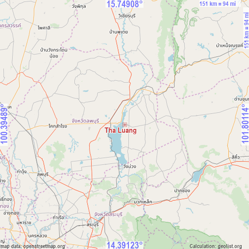
Tha Luang GPS coordinates[2]
15° 4' 16.464" North, 101° 5' 52.836" East
| Map corner | latitude | longitude |
|---|---|---|
| Upper-left | 15.74908°, | 100.39489° |
| Center: | 15.07124°, | 101.09801° |
| Lower-right: | 14.39123°, | 101.80114° |
| Map W x H: | 151×151 km | = 93.8×93.8mi |
| max Lat: | 20.43353° ⇑48.7% North |
| Tha Luang: | 15.07124° |
| min Lat: | ⇓51.3% South 5.77434° |
| min Long | Tha Luang | max Long |
| 97.93288° | 101.09801° | 105.49506° |
| W 56.1%⇐ | ⇒43.9% E |
Elevation
Elevation of Tha Luang is 58 m = 190 ft, and this is 67.5 m = 221 ft below average elevation for this country.
| Max E: |
1011 m = 3317 ft | 55.3% |
| Avg. | 125.5 m = 412 ft | |
| Tha Luang | 58 m = 190 ft | |
Min E: |
1 m = 3 ft | 44.7% |
See also: Thailand elevation on elevation.city.
Geographical zone
Tha Luang is located in North Torrid zone (between Equator and Tropic of Cancer). Distance of this Northern Tropic circle is 930.2 km =578 mi to North.| Distance of | km | miles | from Tha Luang |
|---|---|---|---|
| North Pole | 8331.3 | 5176.8 | to North |
| Arctic Circle | 5725.4 | 3557.6 | to North |
| Tropic Cancer | 930.2 | 578 | to North |
| Equator | 1675.8 | 1041.3 | to South |


Nearby cities:
15 places around Tha Luang: (largest is in red/bold)
• Chai Badan
14.8 km =9.2 mi,  14°
14°
• Chaloem Phra Kiat
55 km =34.2 mi,  201°
201°
• Kaeng Khoi
55 km =34.2 mi,  191°
191°
• Khok Charoen
45.5 km =28.3 mi,  318°
318°
• Khok Samrong
40.3 km =25 mi,  269°
269°
• Lam Sonthi
38.3 km =23.8 mi,  48°
48°
• Muak Lek
47.8 km =29.7 mi,  166°
166°
• Nong Muang
51.3 km =31.9 mi,  292°
292°
• Pak Chong
52.9 km =32.9 mi,  139°
139°
• Phatthana Nikhom
26.8 km =16.7 mi,  207°
207°
• Phra Phutthabat
50.4 km =31.3 mi,  220°
220°
• Sa Bot
32.6 km =20.3 mi,  298°
298°
• Si Thep
42.5 km =26.4 mi,  355°
355°
• Thep Sathit
52 km =32.3 mi, 46°
• Wang Muang
25.6 km =15.9 mi, 173°
Sources, notices
• [Note1] Compared only with cities in Thailand existing in our database
• [Src1] Map data: © OpenStreetMap contributors (CC-BY-SA)
• [Src2] Other city data from geonames.org with taken over terms of usage.
• [Src3] Geographical zone / Annual Mean Temperature by Robert A. Rohde @ Wikipedia
