Tozeur geodata
Tozeur (Tawzar) is a seat of a first-order administrative division; located in Tunisia in Africa/Tunis (GMT+1) time zone. With population of 34,943 people, there are 38 cities with bigger population in this country. Compared to other cities in Tunisia, 87.4% of cities are located further ↑North; 97.9% of cities are located further →East and 51.7% of cities have lower elevation than Tozeur. Note1


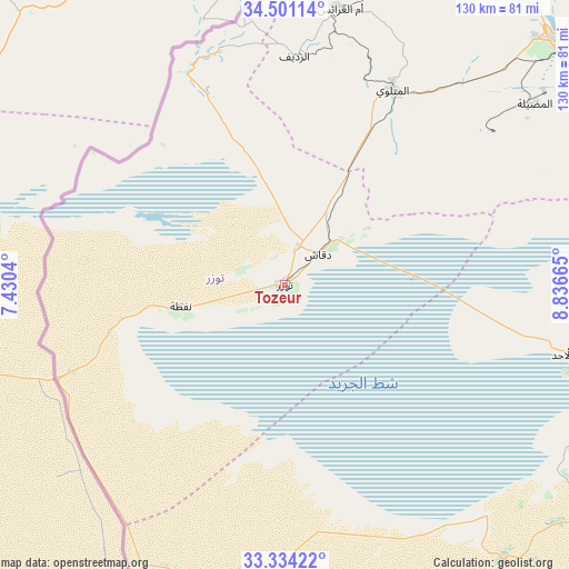
Tozeur GPS coordinates[2]
33° 55' 10.848" North, 8° 8' 0.672" East
| Map corner | latitude | longitude |
|---|---|---|
| Upper-left | 34.50114°, | 7.4304° |
| Center: | 33.91968°, | 8.13352° |
| Lower-right: | 33.33422°, | 8.83665° |
| Map W x H: | 129.7×129.8 km | = 80.6×80.7mi |
| max Lat: | 37.27442° ⇑87.4% North |
| Tozeur: | 33.91968° |
| min Lat: | ⇓12.6% South 32.31662° |
| min Long | Tozeur | max Long |
| 7.87765° | 8.13352° | 11.21965° |
| W 2.1%⇐ | ⇒97.9% E |
Elevation
Elevation of Tozeur is 51 m = 167 ft, and this is 98.4 m = 323 ft below average elevation for this country.
| Max E: |
999 m = 3278 ft | 48.3% |
| Avg. | 149.4 m = 490 ft | |
| Tozeur | 51 m = 167 ft | |
Min E: |
-6 m = -20 ft | 51.7% |
See also: Tunisia elevation on elevation.city.
Geographical zone
Tozeur is located in North temperate zone (between Tropic of Cancer and the Arctic Circle). Distance of this Northern Tropic circle is 1165.6 km =724.3 mi to South.| Distance of | km | miles | from Tozeur |
|---|---|---|---|
| North Pole | 6235.5 | 3874.6 | to North |
| Arctic Circle | 3629.7 | 2255.4 | to North |
| Tropic Cancer | 1165.6 | 724.3 | to South |
| Equator | 3771.5 | 2343.5 | to South |


Nearby cities:
15 places around Tozeur: (largest is in red/bold)
• Ar Rudayyif
51.5 km =32 mi,  2°
2°
• As Sanad
120.2 km =74.7 mi,  59°
59°
• Bir el Hafey
148.7 km =92.4 mi,  40°
40°
• Bou Attouche
152.4 km =94.7 mi,  90°
90°
• Chebika
48 km =29.8 mi,  337°
337°
• Degache
9.3 km =5.8 mi,  47°
47°
• Douz
96.3 km =59.8 mi,  121°
121°
• El Golaa
94.1 km =58.5 mi, 120°
• Gafsa
82.1 km =51 mi, 46°
• Jemna
89.9 km =55.9 mi, 115°
• Kasserine
153 km =95.1 mi,  24°
24°
• Kebili
80.8 km =50.2 mi,  107°
107°
• Metlaoui
51 km =31.7 mi,  28°
28°
• Nefta
24.2 km =15 mi,  257°
257°
• Tamaghzah
55 km =34.2 mi, 341°
Sources, notices
• [Note1] Compared only with cities in Tunisia existing in our database
• [Src1] Map data: © OpenStreetMap contributors (CC-BY-SA)
• [Src2] Other city data from geonames.org with taken over terms of usage.
• [Src3] Geographical zone / Annual Mean Temperature by Robert A. Rohde @ Wikipedia
