Degache geodata
Degache (Tawzar) is a populated place; located in Tunisia in Africa/Tunis (GMT+1) time zone. With population of 8,134 people, there are 93 cities with bigger population in this country. Compared to other cities in Tunisia, 86.7% of cities are located further ↑North; 96.5% of cities are located further →East and 55.9% of cities have lower elevation than Degache. Note1


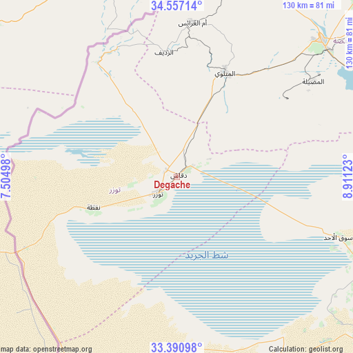
Degache GPS coordinates[2]
33° 58' 33.816" North, 8° 12' 29.16" East
| Map corner | latitude | longitude |
|---|---|---|
| Upper-left | 34.55714°, | 7.50498° |
| Center: | 33.97606°, | 8.2081° |
| Lower-right: | 33.39098°, | 8.91123° |
| Map W x H: | 129.7×129.7 km | = 80.6×80.6mi |
| max Lat: | 37.27442° ⇑86.7% North |
| Degache: | 33.97606° |
| min Lat: | ⇓13.3% South 32.31662° |
| min Long | Degache | max Long |
| 7.87765° | 8.2081° | 11.21965° |
| W 3.5%⇐ | ⇒96.5% E |
Elevation
Elevation of Degache is 58 m = 190 ft, and this is 91.4 m = 300 ft below average elevation for this country.
| Max E: |
999 m = 3278 ft | 44.1% |
| Avg. | 149.4 m = 490 ft | |
| Degache | 58 m = 190 ft | |
Min E: |
-6 m = -20 ft | 55.9% |
See also: Tunisia elevation on elevation.city.
Geographical zone
Degache is located in North temperate zone (between Tropic of Cancer and the Arctic Circle). Distance of this Northern Tropic circle is 1171.9 km =728.2 mi to South.| Distance of | km | miles | from Degache |
|---|---|---|---|
| North Pole | 6229.3 | 3870.7 | to North |
| Arctic Circle | 3623.4 | 2251.5 | to North |
| Tropic Cancer | 1171.9 | 728.2 | to South |
| Equator | 3777.8 | 2347.4 | to South |


Nearby cities:
15 places around Degache: (largest is in red/bold)
• Ar Rudayyif
45.5 km =28.3 mi,  353°
353°
• As Sanad
111.1 km =69 mi,  60°
60°
• Bir el Hafey
139.5 km =86.7 mi,  40°
40°
• Bou Attouche
145.7 km =90.5 mi,  93°
93°
• Chebika
45.7 km =28.4 mi,  326°
326°
• Douz
94.1 km =58.5 mi,  127°
127°
• El Golaa
91.9 km =57.1 mi, 126°
• Gafsa
72.8 km =45.2 mi,  46°
46°
• Jemna
86.7 km =53.9 mi,  120°
120°
• Kasserine
144.4 km =89.7 mi,  23°
23°
• Kebili
76.5 km =47.5 mi,  113°
113°
• Metlaoui
42.3 km =26.3 mi, 24°
• Nefta
32.6 km =20.3 mi,  249°
249°
• Tamaghzah
51.9 km =32.2 mi, 332°
• Tozeur
9.3 km =5.8 mi,  227°
227°
Sources, notices
• [Note1] Compared only with cities in Tunisia existing in our database
• [Src1] Map data: © OpenStreetMap contributors (CC-BY-SA)
• [Src2] Other city data from geonames.org with taken over terms of usage.
• [Src3] Geographical zone / Annual Mean Temperature by Robert A. Rohde @ Wikipedia
