Chebika geodata
Chebika (Tawzar) is a populated place; located in Tunisia in Africa/Tunis (GMT+1) time zone. With population of 1,820 people, there are 143 cities with bigger population in this country. Compared to other cities in Tunisia, 85.3% of cities are located further ↑North; 99.3% of cities are located further →East and 68.5% of cities have lower elevation than Chebika. Note1


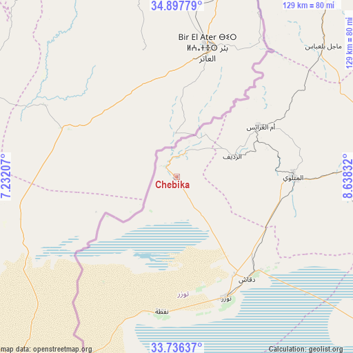
Chebika GPS coordinates[2]
34° 19' 8.724" North, 7° 56' 6.684" East
| Map corner | latitude | longitude |
|---|---|---|
| Upper-left | 34.89779°, | 7.23207° |
| Center: | 34.31909°, | 7.93519° |
| Lower-right: | 33.73637°, | 8.63832° |
| Map W x H: | 129.1×129.1 km | = 80.2×80.2mi |
| max Lat: | 37.27442° ⇑85.3% North |
| Chebika: | 34.31909° |
| min Lat: | ⇓14.7% South 32.31662° |
| min Long | Chebika | max Long |
| 7.87765° | 7.93519° | 11.21965° |
| W 0.7%⇐ | ⇒99.3% E |
Elevation
Elevation of Chebika is 116 m = 381 ft, and this is 33.4 m = 110 ft below average elevation for this country.
| Max E: |
999 m = 3278 ft | 31.5% |
| Avg. | 149.4 m = 490 ft | |
| Chebika | 116 m = 381 ft | |
Min E: |
-6 m = -20 ft | 68.5% |
See also: Tunisia elevation on elevation.city.
Geographical zone
Chebika is located in North temperate zone (between Tropic of Cancer and the Arctic Circle). Distance of this Northern Tropic circle is 1210 km =751.9 mi to South.| Distance of | km | miles | from Chebika |
|---|---|---|---|
| North Pole | 6191.1 | 3847 | to North |
| Arctic Circle | 3585.2 | 2227.7 | to North |
| Tropic Cancer | 1210 | 751.9 | to South |
| Equator | 3815.9 | 2371.1 | to South |


Nearby cities:
15 places around Chebika: (largest is in red/bold)
• Ar Rudayyif
21.4 km =13.3 mi,  70°
70°
• As Sanad
123 km =76.4 mi,  82°
82°
• Bir el Hafey
133.8 km =83.1 mi,  59°
59°
• Degache
45.7 km =28.4 mi,  146°
146°
• Douz
137.9 km =85.7 mi,  133°
133°
• El Golaa
135.6 km =84.3 mi, 133°
• Gafsa
78.8 km =49 mi, 81°
• Jemna
129.3 km =80.3 mi, 129°
• Kasserine
125.2 km =77.8 mi,  41°
41°
• Kebili
117.3 km =72.9 mi, 125°
• Metlaoui
42.8 km =26.6 mi,  89°
89°
• Nefta
49.9 km =31 mi,  186°
186°
• Tamaghzah
7.8 km =4.8 mi,  5°
5°
• Thala
154.6 km =96.1 mi,  25°
25°
• Tozeur
48 km =29.8 mi,  157°
157°
Sources, notices
• [Note1] Compared only with cities in Tunisia existing in our database
• [Src1] Map data: © OpenStreetMap contributors (CC-BY-SA)
• [Src2] Other city data from geonames.org with taken over terms of usage.
• [Src3] Geographical zone / Annual Mean Temperature by Robert A. Rohde @ Wikipedia
