Türkoğlu geodata
Türkoğlu (Kahramanmaraş) is a seat of a second-order administrative division; located in Turkey in Europe/Istanbul (GMT+3) time zone. In our database, there are 1323 cities with bigger population. Compared to other cities in Turkey, 77.9% of cities are located further ↑North; 56.2% of cities are located further ←West and 56.7% of cities have higher elevation than Türkoğlu. Note1


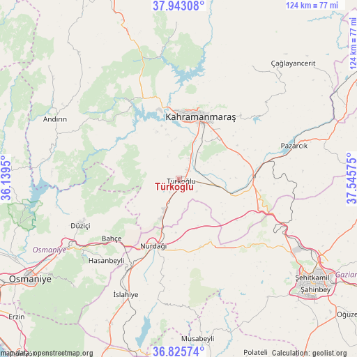
Türkoğlu GPS coordinates[2]
37° 23' 11.364" North, 36° 50' 33.432" East
| Map corner | latitude | longitude |
|---|---|---|
| Upper-left | 37.94308°, | 36.1395° |
| Center: | 37.38649°, | 36.84262° |
| Lower-right: | 36.82574°, | 37.54575° |
| Map W x H: | 124.2×124.2 km | = 77.2×77.2mi |
| max Lat: | 42.02683° ⇑77.9% North |
| Türkoğlu: | 37.38649° |
| min Lat: | ⇓22.1% South 35.9025° |
| min Long | Türkoğlu | max Long |
| 25.90902° | 36.84262° | 44.60099° |
| W 56.2%⇐ | ⇒43.8% E |
Elevation
Elevation of Türkoğlu is 561 m = 1841 ft, and this is 156.4 m = 513 ft below average elevation for this country.
| Max E: |
2682 m = 8799 ft | 56.7% |
| Avg. | 717.4 m = 2354 ft | |
| Türkoğlu | 561 m = 1841 ft | |
Min E: |
0 m = 0 ft | 43.3% |
See also: Turkey elevation on elevation.city.
Geographical zone
Türkoğlu is located in North temperate zone (between Tropic of Cancer and the Arctic Circle). Distance of this Northern Tropic circle is 1551.1 km =963.8 mi to South.| Distance of | km | miles | from Türkoğlu |
|---|---|---|---|
| North Pole | 5850.1 | 3635.1 | to North |
| Arctic Circle | 3244.2 | 2015.9 | to North |
| Tropic Cancer | 1551.1 | 963.8 | to South |
| Equator | 4157 | 2583 | to South |


Nearby cities:
15 places around Türkoğlu: (largest is in red/bold)
• Andırın
48 km =29.8 mi,  296°
296°
• Ağabeyli
45.5 km =28.3 mi,  31°
31°
• Bahçe
31.6 km =19.6 mi,  228°
228°
• Burç
51.1 km =31.8 mi,  144°
144°
• Fevzipaşa
37.2 km =23.1 mi,  209°
209°
• Haruniye
37.9 km =23.5 mi,  244°
244°
• Hasanbeyli
38.9 km =24.2 mi,  222°
222°
• Kahramanmaraş
23.2 km =14.4 mi,  18°
18°
• Kaypak
45 km =28 mi, 227°
• Narlı
25.9 km =16.1 mi,  88°
88°
• Nurdağı
26 km =16.2 mi,  201°
201°
• Pazarcık
41.9 km =26 mi,  74°
74°
• Sakçagöz
24.8 km =15.4 mi,  164°
164°
• Yenicekale
30 km =18.6 mi,  321°
321°
• İslahiye
44.4 km =27.6 mi, 205°
Sources, notices
• [Note1] Compared only with cities in Turkey existing in our database
• [Src1] Map data: © OpenStreetMap contributors (CC-BY-SA)
• [Src2] Other city data from geonames.org with taken over terms of usage.
• [Src3] Geographical zone / Annual Mean Temperature by Robert A. Rohde @ Wikipedia
