Karaköy geodata
Karaköy (Batman) is a populated place; located in Turkey in Europe/Istanbul (GMT+3) time zone. With population of 509 people, there are 1305 cities with bigger population in this country. Compared to other cities in Turkey, 70.9% of cities are located further ↑North; 85.4% of cities are located further ←West and 63.1% of cities have lower elevation than Karaköy. Note1


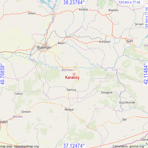
Karaköy GPS coordinates[2]
37° 40' 59.808" North, 41° 24' 42.156" East
| Map corner | latitude | longitude |
|---|---|---|
| Upper-left | 38.23764°, | 40.70859° |
| Center: | 37.68328°, | 41.41171° |
| Lower-right: | 37.12474°, | 42.11484° |
| Map W x H: | 123.7×123.7 km | = 76.9×76.9mi |
| max Lat: | 42.02683° ⇑70.9% North |
| Karaköy: | 37.68328° |
| min Lat: | ⇓29.1% South 35.9025° |
| min Long | Karaköy | max Long |
| 25.90902° | 41.41171° | 44.60099° |
| W 85.4%⇐ | ⇒14.6% E |
Elevation
Elevation of Karaköy is 930 m = 3051 ft, and this is 212.6 m = 698 ft above average elevation for this country.
| Max E: |
2682 m = 8799 ft | 36.9% |
| Karaköy | 930 m 3051 ft | |
| Avg. | 717.4 m = 2354 ft | |
Min E: |
0 m = 0 ft | 63.1% |
See also: Turkey elevation on elevation.city.
Geographical zone
Karaköy is located in North temperate zone (between Tropic of Cancer and the Arctic Circle). Distance of this Northern Tropic circle is 1584.1 km =984.3 mi to South.| Distance of | km | miles | from Karaköy |
|---|---|---|---|
| North Pole | 5817.1 | 3614.6 | to North |
| Arctic Circle | 3211.2 | 1995.3 | to North |
| Tropic Cancer | 1584.1 | 984.3 | to South |
| Equator | 4190 | 2603.5 | to South |


Nearby cities:
15 places around Karaköy: (largest is in red/bold)
• Barıştepe
22.3 km =13.9 mi,  182°
182°
• Derdil
8.2 km =5.1 mi,  121°
121°
• Gerdzhyush
13.8 km =8.6 mi,  192°
192°
• Gökçepınar
14.2 km =8.8 mi,  137°
137°
• Gülveren
23 km =14.3 mi,  161°
161°
• Hasankeyf
2.6 km =1.6 mi,  346°
346°
• Hisar
18.6 km =11.6 mi,  240°
240°
• Kesmeköprü
3.8 km =2.4 mi,  1°
1°
• Kozlu
6.4 km =4 mi,  216°
216°
• Oğuz
15 km =9.3 mi, 347°
• Yenipınar
20.2 km =12.6 mi,  331°
331°
• Yolağzı
18.3 km =11.4 mi,  196°
196°
• Yontukyazı
23.4 km =14.5 mi,  341°
341°
• Çevrimova
21.3 km =13.2 mi, 325°
• Çukuryurt
12.2 km =7.6 mi,  148°
148°
Sources, notices
• [Note1] Compared only with cities in Turkey existing in our database
• [Src1] Map data: © OpenStreetMap contributors (CC-BY-SA)
• [Src2] Other city data from geonames.org with taken over terms of usage.
• [Src3] Geographical zone / Annual Mean Temperature by Robert A. Rohde @ Wikipedia
