Evkuran geodata
Evkuran (Mardin) is a populated place; located in Turkey in Europe/Istanbul (GMT+3) time zone. With population of 504 people, there are 1316 cities with bigger population in this country. Compared to other cities in Turkey, 71.2% of cities are located further ↑North; 80.9% of cities are located further ←West and 58.3% of cities have lower elevation than Evkuran. Note1


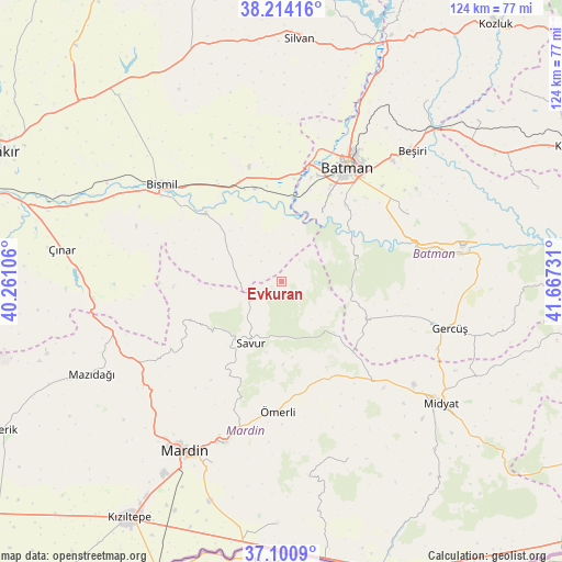
Evkuran GPS coordinates[2]
37° 39' 34.632" North, 40° 57' 51.048" East
| Map corner | latitude | longitude |
|---|---|---|
| Upper-left | 38.21416°, | 40.26106° |
| Center: | 37.65962°, | 40.96418° |
| Lower-right: | 37.1009°, | 41.66731° |
| Map W x H: | 123.8×123.8 km | = 76.9×76.9mi |
| max Lat: | 42.02683° ⇑71.2% North |
| Evkuran: | 37.65962° |
| min Lat: | ⇓28.8% South 35.9025° |
| min Long | Evkuran | max Long |
| 25.90902° | 40.96418° | 44.60099° |
| W 80.9%⇐ | ⇒19.1% E |
Elevation
Elevation of Evkuran is 850 m = 2789 ft, and this is 132.6 m = 435 ft above average elevation for this country.
| Max E: |
2682 m = 8799 ft | 41.7% |
| Evkuran | 850 m 2789 ft | |
| Avg. | 717.4 m = 2354 ft | |
Min E: |
0 m = 0 ft | 58.3% |
See also: Turkey elevation on elevation.city.
Geographical zone
Evkuran is located in North temperate zone (between Tropic of Cancer and the Arctic Circle). Distance of this Northern Tropic circle is 1581.4 km =982.6 mi to South.| Distance of | km | miles | from Evkuran |
|---|---|---|---|
| North Pole | 5819.7 | 3616.2 | to North |
| Arctic Circle | 3213.8 | 1997 | to North |
| Tropic Cancer | 1581.4 | 982.6 | to South |
| Equator | 4187.4 | 2601.9 | to South |


Nearby cities:
15 places around Evkuran: (largest is in red/bold)
• Başhan
6.3 km =3.9 mi,  313°
313°
• Başkavak
12.5 km =7.8 mi,  212°
212°
• Doruk
15.9 km =9.9 mi,  287°
287°
• Harmanlı
14.1 km =8.8 mi,  302°
302°
• Harmantepe
6 km =3.7 mi,  39°
39°
• Kayapınar
20.8 km =12.9 mi,  123°
123°
• Kayatepe
16 km =9.9 mi,  191°
191°
• Oymataş
16.2 km =10.1 mi,  17°
17°
• Reshidi
18.3 km =11.4 mi,  178°
178°
• Salat
21.4 km =13.3 mi,  341°
341°
• Savur
15.7 km =9.8 mi, 208°
• Soylu
13.1 km =8.1 mi,  265°
265°
• Teffi
16.2 km =10.1 mi,  134°
134°
• Tokluca
10.5 km =6.5 mi,  142°
142°
• Yenilmez
16.9 km =10.5 mi,  172°
172°
Sources, notices
• [Note1] Compared only with cities in Turkey existing in our database
• [Src1] Map data: © OpenStreetMap contributors (CC-BY-SA)
• [Src2] Other city data from geonames.org with taken over terms of usage.
• [Src3] Geographical zone / Annual Mean Temperature by Robert A. Rohde @ Wikipedia
