Doğanyol geodata
Doğanyol (Malatya) is a seat of a second-order administrative division; located in Turkey in Europe/Istanbul (GMT+3) time zone. With population of 6,332 people, there are 639 cities with bigger population in this country. Compared to other cities in Turkey, 56.1% of cities are located further ↑North; 68% of cities are located further ←West and 63.1% of cities have lower elevation than Doğanyol. Note1


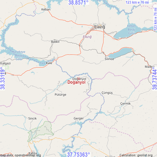
Doğanyol GPS coordinates[2]
38° 18' 26.856" North, 39° 2' 3.516" East
| Map corner | latitude | longitude |
|---|---|---|
| Upper-left | 38.8571°, | 38.33119° |
| Center: | 38.30746°, | 39.03431° |
| Lower-right: | 37.75363°, | 39.73744° |
| Map W x H: | 122.7×122.7 km | = 76.2×76.2mi |
| max Lat: | 42.02683° ⇑56.1% North |
| Doğanyol: | 38.30746° |
| min Lat: | ⇓43.9% South 35.9025° |
| min Long | Doğanyol | max Long |
| 25.90902° | 39.03431° | 44.60099° |
| W 68%⇐ | ⇒32% E |
Elevation
Elevation of Doğanyol is 930 m = 3051 ft, and this is 212.6 m = 698 ft above average elevation for this country.
| Max E: |
2682 m = 8799 ft | 36.9% |
| Doğanyol | 930 m 3051 ft | |
| Avg. | 717.4 m = 2354 ft | |
Min E: |
0 m = 0 ft | 63.1% |
See also: Turkey elevation on elevation.city.
Geographical zone
Doğanyol is located in North temperate zone (between Tropic of Cancer and the Arctic Circle). Distance of this Northern Tropic circle is 1653.5 km =1027.4 mi to South.| Distance of | km | miles | from Doğanyol |
|---|---|---|---|
| North Pole | 5747.7 | 3571.5 | to North |
| Arctic Circle | 3141.8 | 1952.2 | to North |
| Tropic Cancer | 1653.5 | 1027.4 | to South |
| Equator | 4259.4 | 2646.7 | to South |


Nearby cities:
15 places around Doğanyol: (largest is in red/bold)
• Baskil
34.7 km =21.6 mi,  326°
326°
• Gerger
31.1 km =19.3 mi,  180°
180°
• Gerger
39.8 km =24.7 mi, 182°
• Gözeli
13.2 km =8.2 mi,  8°
8°
• Hankendi
29.1 km =18.1 mi,  3°
3°
• Hazar
35.1 km =21.8 mi,  75°
75°
• Kale
25.9 km =16.1 mi,  297°
297°
• Kuşsarayı
34.8 km =21.6 mi, 297°
• Mollakendi
39.7 km =24.7 mi,  40°
40°
• Pütürge
19.2 km =11.9 mi,  231°
231°
• Sivrice
28.3 km =17.6 mi,  57°
57°
• Taraksu
19.7 km =12.2 mi,  149°
149°
• Taraksu
32.6 km =20.3 mi,  172°
172°
• Tepehan
34.2 km =21.3 mi, 231°
• Çüngüş
24.6 km =15.3 mi,  116°
116°
Sources, notices
• [Note1] Compared only with cities in Turkey existing in our database
• [Src1] Map data: © OpenStreetMap contributors (CC-BY-SA)
• [Src2] Other city data from geonames.org with taken over terms of usage.
• [Src3] Geographical zone / Annual Mean Temperature by Robert A. Rohde @ Wikipedia
