Tepehan geodata
Tepehan (Malatya) is a seat of a third-order administrative division; located in Turkey in Europe/Istanbul (GMT+3) time zone. In our database, there are 1323 cities with bigger population. Compared to other cities in Turkey, 59.4% of cities are located further ↑North; 65.2% of cities are located further ←West and 88% of cities have lower elevation than Tepehan. Note1


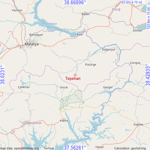
Tepehan GPS coordinates[2]
38° 7' 4.368" North, 38° 43' 34.392" East
| Map corner | latitude | longitude |
|---|---|---|
| Upper-left | 38.66896°, | 38.0231° |
| Center: | 38.11788°, | 38.72622° |
| Lower-right: | 37.56261°, | 39.42935° |
| Map W x H: | 123×123 km | = 76.4×76.4mi |
| max Lat: | 42.02683° ⇑59.4% North |
| Tepehan: | 38.11788° |
| min Lat: | ⇓40.6% South 35.9025° |
| min Long | Tepehan | max Long |
| 25.90902° | 38.72622° | 44.60099° |
| W 65.2%⇐ | ⇒34.8% E |
Elevation
Elevation of Tepehan is 1397 m = 4583 ft, and this is 679.6 m = 2230 ft above average elevation for this country.
| Max E: |
2682 m = 8799 ft | 12% |
| Tepehan | 1397 m 4583 ft | |
| Avg. | 717.4 m = 2354 ft | |
Min E: |
0 m = 0 ft | 88% |
See also: Turkey elevation on elevation.city.
Geographical zone
Tepehan is located in North temperate zone (between Tropic of Cancer and the Arctic Circle). Distance of this Northern Tropic circle is 1632.4 km =1014.3 mi to South.| Distance of | km | miles | from Tepehan |
|---|---|---|---|
| North Pole | 5768.8 | 3584.6 | to North |
| Arctic Circle | 3162.9 | 1965.3 | to North |
| Tropic Cancer | 1632.4 | 1014.3 | to South |
| Equator | 4238.3 | 2633.6 | to South |


Nearby cities:
15 places around Tepehan: (largest is in red/bold)
• Akıncılar
40.2 km =25 mi,  167°
167°
• Damlacık
23.5 km =14.6 mi,  195°
195°
• Doğanyol
34.2 km =21.3 mi,  51°
51°
• Gerger
28.7 km =17.8 mi,  110°
110°
• Gerger
31.6 km =19.6 mi,  126°
126°
• Kale
33.3 km =20.7 mi,  6°
6°
• Kuşsarayı
37.3 km =23.2 mi,  353°
353°
• Kâhta
38 km =23.6 mi,  193°
193°
• Narince
26.3 km =16.3 mi, 173°
• Pütürge
15 km =9.3 mi, 52°
• Sincik
13.5 km =8.4 mi,  227°
227°
• Taraksu
33.2 km =20.6 mi, 109°
• Taraksu
37.1 km =23.1 mi,  83°
83°
• Yarpuzlu
19.3 km =12 mi,  248°
248°
• Çolaklı
30 km =18.6 mi,  323°
323°
Sources, notices
• [Note1] Compared only with cities in Turkey existing in our database
• [Src1] Map data: © OpenStreetMap contributors (CC-BY-SA)
• [Src2] Other city data from geonames.org with taken over terms of usage.
• [Src3] Geographical zone / Annual Mean Temperature by Robert A. Rohde @ Wikipedia
