Çatak geodata
Çatak (Van) is a seat of a second-order administrative division; located in Turkey in Europe/Istanbul (GMT+3) time zone. In our database, there are 1323 cities with bigger population. Compared to other cities in Turkey, 61.4% of cities are located further ↑North; 96.9% of cities are located further ←West and 97.8% of cities have lower elevation than Çatak. Note1


Çatak GPS coordinates[2]
38° 0' 10.548" North, 43° 3' 8.748" East
| Map corner | latitude | longitude |
|---|---|---|
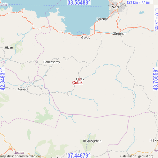
| Upper-left | 38.55488°, | 42.34931° |
| Center: | 38.00293°, | 43.05243° |
| Lower-right: | 37.44679°, | 43.75556° |
| Map W x H: | 123.2×123.2 km | = 76.6×76.6mi |
| max Lat: | 42.02683° ⇑61.4% North |
| Çatak: | 38.00293° |
| min Lat: | ⇓38.6% South 35.9025° |
| min Long | Çatak | max Long |
| 25.90902° | 43.05243° | 44.60099° |
| W 96.9%⇐ | ⇒3.1% E |
Elevation
Elevation of Çatak is 1836 m = 6024 ft, and this is 1118.6 m = 3670 ft above average elevation for this country.
| Max E: |
2682 m = 8799 ft | 2.2% |
| Çatak | 1836 m 6024 ft | |
| Avg. | 717.4 m = 2354 ft | |
Min E: |
0 m = 0 ft | 97.8% |
See also: Turkey elevation on elevation.city.
Geographical zone
Çatak is located in North temperate zone (between Tropic of Cancer and the Arctic Circle). Distance of this Northern Tropic circle is 1619.6 km =1006.4 mi to South.| Distance of | km | miles | from Çatak |
|---|---|---|---|
| North Pole | 5781.5 | 3592.5 | to North |
| Arctic Circle | 3175.6 | 1973.2 | to North |
| Tropic Cancer | 1619.6 | 1006.4 | to South |
| Equator | 4225.5 | 2625.6 | to South |


Nearby cities:
15 places around Çatak: (largest is in red/bold)
• Atlıhan
22.3 km =13.9 mi,  245°
245°
• Bahçesaray
26 km =16.2 mi,  301°
301°
• Belenoluk
26 km =16.2 mi, 248°
• Beğendik
35.6 km =22.1 mi,  265°
265°
• Buğdaylı
38.6 km =24 mi,  156°
156°
• Doğanköy
35.3 km =21.9 mi,  220°
220°
• Gevaş
32.4 km =20.1 mi,  7°
7°
• Gökbudak
37.1 km =23.1 mi, 252°
• Kaçıt
9.8 km =6.1 mi,  214°
214°
• Konalga
16.3 km =10.1 mi,  166°
166°
• Narlı
14.8 km =9.2 mi, 206°
• Sözveren
2.7 km =1.7 mi,  120°
120°
• Uzyum
29.8 km =18.5 mi, 268°
• Yapraktepe
31.1 km =19.3 mi,  229°
229°
• Övecek
18.4 km =11.4 mi, 233°
Sources, notices
• [Note1] Compared only with cities in Turkey existing in our database
• [Src1] Map data: © OpenStreetMap contributors (CC-BY-SA)
• [Src2] Other city data from geonames.org with taken over terms of usage.
• [Src3] Geographical zone / Annual Mean Temperature by Robert A. Rohde @ Wikipedia
