Altınkum geodata
Altınkum (Diyarbakır) is a populated place; located in Turkey in Europe/Istanbul (GMT+3) time zone. With population of 2,000 people, there are 956 cities with bigger population in this country. Compared to other cities in Turkey, 56.8% of cities are located further ↑North; 82.1% of cities are located further ←West and 52.1% of cities have higher elevation than Altınkum. Note1


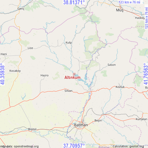
Altınkum GPS coordinates[2]
38° 15' 49.464" North, 41° 3' 45" East
| Map corner | latitude | longitude |
|---|---|---|
| Upper-left | 38.81371°, | 40.35938° |
| Center: | 38.26374°, | 41.0625° |
| Lower-right: | 37.70957°, | 41.76563° |
| Map W x H: | 122.8×122.8 km | = 76.3×76.3mi |
| max Lat: | 42.02683° ⇑56.8% North |
| Altınkum: | 38.26374° |
| min Lat: | ⇓43.2% South 35.9025° |
| min Long | Altınkum | max Long |
| 25.90902° | 41.0625° | 44.60099° |
| W 82.1%⇐ | ⇒17.9% E |
Elevation
Elevation of Altınkum is 656 m = 2152 ft, and this is 61.4 m = 201 ft below average elevation for this country.
| Max E: |
2682 m = 8799 ft | 52.1% |
| Avg. | 717.4 m = 2354 ft | |
| Altınkum | 656 m = 2152 ft | |
Min E: |
0 m = 0 ft | 47.9% |
See also: Turkey elevation on elevation.city.
Geographical zone
Altınkum is located in North temperate zone (between Tropic of Cancer and the Arctic Circle). Distance of this Northern Tropic circle is 1648.6 km =1024.4 mi to South.| Distance of | km | miles | from Altınkum |
|---|---|---|---|
| North Pole | 5752.5 | 3574.4 | to North |
| Arctic Circle | 3146.6 | 1955.2 | to North |
| Tropic Cancer | 1648.6 | 1024.4 | to South |
| Equator | 4254.5 | 2643.6 | to South |


Nearby cities:
15 places around Altınkum: (largest is in red/bold)
• Akbaş
31.9 km =19.8 mi,  180°
180°
• Akoba
35.6 km =22.1 mi, 180°
• Akçasır
27 km =16.8 mi,  40°
40°
• Akçayır
31 km =19.3 mi,  191°
191°
• Ağaçlı
31.4 km =19.5 mi,  333°
333°
• Bağdere
33.2 km =20.6 mi,  239°
239°
• Bekirhan
24.4 km =15.2 mi,  124°
124°
• Demirlipınar
35 km =21.7 mi,  163°
163°
• Hamzalı
12.3 km =7.6 mi,  45°
45°
• Hazro
25.5 km =15.8 mi,  266°
266°
• Kulp
26.4 km =16.4 mi,  349°
349°
• Malabadi
17.5 km =10.9 mi,  135°
135°
• Sason
31.5 km =19.6 mi,  76°
76°
• Silvan
14.9 km =9.3 mi,  198°
198°
• Yücebağ
23 km =14.3 mi, 51°
Sources, notices
• [Note1] Compared only with cities in Turkey existing in our database
• [Src1] Map data: © OpenStreetMap contributors (CC-BY-SA)
• [Src2] Other city data from geonames.org with taken over terms of usage.
• [Src3] Geographical zone / Annual Mean Temperature by Robert A. Rohde @ Wikipedia
