Esiroğlu geodata
Esiroğlu (Trabzon) is a seat of a third-order administrative division; located in Turkey in Europe/Istanbul (GMT+3) time zone. In our database, there are 1323 cities with bigger population. Compared to other cities in Turkey, 85.3% of cities are located further ↓South; 72.2% of cities are located further ←West and 71.8% of cities have higher elevation than Esiroğlu. Note1


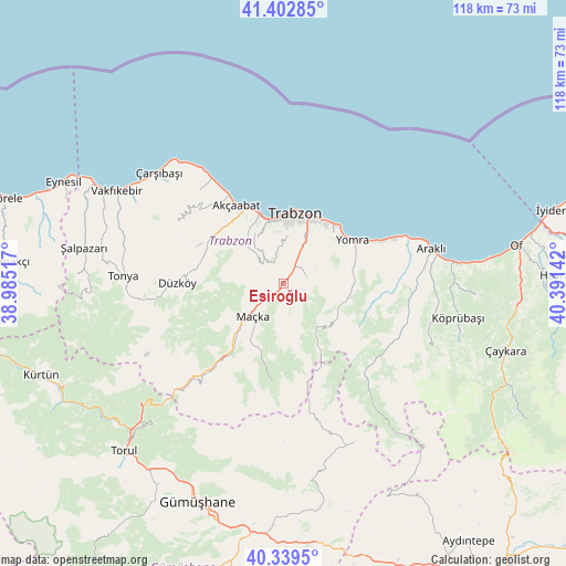
Esiroğlu GPS coordinates[2]
40° 52' 23.916" North, 39° 41' 17.844" East
| Map corner | latitude | longitude |
|---|---|---|
| Upper-left | 41.40285°, | 38.98517° |
| Center: | 40.87331°, | 39.68829° |
| Lower-right: | 40.3395°, | 40.39142° |
| Map W x H: | 118.2×118.2 km | = 73.4×73.4mi |
| max Lat: | 42.02683° ⇑14.7% North |
| Esiroğlu: | 40.87331° |
| min Lat: | ⇓85.3% South 35.9025° |
| min Long | Esiroğlu | max Long |
| 25.90902° | 39.68829° | 44.60099° |
| W 72.2%⇐ | ⇒27.8% E |
Elevation
Elevation of Esiroğlu is 240 m = 787 ft, and this is 477.4 m = 1566 ft below average elevation for this country.
| Max E: |
2682 m = 8799 ft | 71.8% |
| Avg. | 717.4 m = 2354 ft | |
| Esiroğlu | 240 m = 787 ft | |
Min E: |
0 m = 0 ft | 28.2% |
See also: Turkey elevation on elevation.city.
Geographical zone
Esiroğlu is located in North temperate zone (between Tropic of Cancer and the Arctic Circle). Distance of this Northern Tropic circle is 1938.8 km =1204.7 mi to South.| Distance of | km | miles | from Esiroğlu |
|---|---|---|---|
| North Pole | 5462.4 | 3394.2 | to North |
| Arctic Circle | 2856.5 | 1774.9 | to North |
| Tropic Cancer | 1938.8 | 1204.7 | to South |
| Equator | 4544.7 | 2823.9 | to South |


Nearby cities:
15 places around Esiroğlu: (largest is in red/bold)
• Akçaabat
19.1 km =11.9 mi,  329°
329°
• Araklı
31.9 km =19.8 mi,  76°
76°
• Arsin
21.9 km =13.6 mi,  66°
66°
• Dağbaşı
24.8 km =15.4 mi,  130°
130°
• Derecik
11.3 km =7 mi,  315°
315°
• Düzköy
22.9 km =14.2 mi,  270°
270°
• Küçükdere
31.7 km =19.7 mi,  103°
103°
• Maçka
9.9 km =6.2 mi,  225°
225°
• Tonya
33.9 km =21.1 mi, 272°
• Tosköy
7.4 km =4.6 mi,  351°
351°
• Trabzon
15 km =9.3 mi,  12°
12°
• Yağmurdere
36.3 km =22.6 mi,  156°
156°
• Yomra
16.6 km =10.3 mi,  57°
57°
• Çarşıbaşı
34.6 km =21.5 mi,  312°
312°
• Çağlayan
3.6 km =2.2 mi,  34°
34°
Sources, notices
• [Note1] Compared only with cities in Turkey existing in our database
• [Src1] Map data: © OpenStreetMap contributors (CC-BY-SA)
• [Src2] Other city data from geonames.org with taken over terms of usage.
• [Src3] Geographical zone / Annual Mean Temperature by Robert A. Rohde @ Wikipedia
