Artvin geodata
Artvin is a seat of a first-order administrative division; located in Turkey in Europe/Istanbul (GMT+3) time zone. With population of 24,266 people, there are 292 cities with bigger population in this country. Compared to other cities in Turkey, 93.7% of cities are located further ↓South; 88.7% of cities are located further ←West and 59.5% of cities have higher elevation than Artvin. Note1


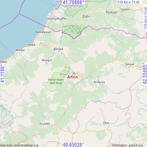
Artvin GPS coordinates[2]
41° 10' 53.796" North, 41° 49' 18.192" East
| Map corner | latitude | longitude |
|---|---|---|
| Upper-left | 41.70866°, | 41.1186° |
| Center: | 41.18161°, | 41.82172° |
| Lower-right: | 40.65028°, | 42.52485° |
| Map W x H: | 117.7×117.7 km | = 73.1×73.1mi |
| max Lat: | 42.02683° ⇑6.3% North |
| Artvin: | 41.18161° |
| min Lat: | ⇓93.7% South 35.9025° |
| min Long | Artvin | max Long |
| 25.90902° | 41.82172° | 44.60099° |
| W 88.7%⇐ | ⇒11.3% E |
Elevation
Elevation of Artvin is 517 m = 1696 ft, and this is 200.4 m = 657 ft below average elevation for this country.
| Max E: |
2682 m = 8799 ft | 59.5% |
| Avg. | 717.4 m = 2354 ft | |
| Artvin | 517 m = 1696 ft | |
Min E: |
0 m = 0 ft | 40.5% |
See also: Turkey elevation on elevation.city.
Geographical zone
Artvin is located in North temperate zone (between Tropic of Cancer and the Arctic Circle). Distance of this Northern Tropic circle is 1973 km =1226 mi to South.| Distance of | km | miles | from Artvin |
|---|---|---|---|
| North Pole | 5428.1 | 3372.9 | to North |
| Arctic Circle | 2822.2 | 1753.6 | to North |
| Tropic Cancer | 1973 | 1226 | to South |
| Equator | 4579 | 2845.3 | to South |


Nearby cities:
15 places around Artvin: (largest is in red/bold)
• Ardanuç
21.1 km =13.1 mi,  106°
106°
• Aşağı Irmaklar
29.5 km =18.3 mi,  89°
89°
• Borçka
23.5 km =14.6 mi,  326°
326°
• Camili
33.6 km =20.9 mi,  10°
10°
• Demirkent
34.5 km =21.4 mi,  192°
192°
• Hopa
40.8 km =25.4 mi,  304°
304°
• Kemalpaşa
41.6 km =25.8 mi,  323°
323°
• Muratlı
33.9 km =21.1 mi,  343°
343°
• Murgul
24.8 km =15.4 mi, 295°
• Ortacalar
38.6 km =24 mi,  286°
286°
• Ortaköy
15.6 km =9.7 mi,  60°
60°
• Seyitler
1.9 km =1.2 mi,  40°
40°
• Zeytinlik
8.5 km =5.3 mi,  158°
158°
• Zigopor
37.8 km =23.5 mi,  226°
226°
• Öğdem
33.3 km =20.7 mi,  207°
207°
Sources, notices
• [Note1] Compared only with cities in Turkey existing in our database
• [Src1] Map data: © OpenStreetMap contributors (CC-BY-SA)
• [Src2] Other city data from geonames.org with taken over terms of usage.
• [Src3] Geographical zone / Annual Mean Temperature by Robert A. Rohde @ Wikipedia
