Itigi geodata
Itigi (Singida) is a populated place; located in Tanzania in Africa/Dar_es_Salaam (GMT+3) time zone. With population of 19,711 people, there are 127 cities with bigger population in this country. Compared to other cities in Tanzania, 52.8% of cities are located further ↑North; 59.4% of cities are located further →East and 71.7% of cities have lower elevation than Itigi. Note1


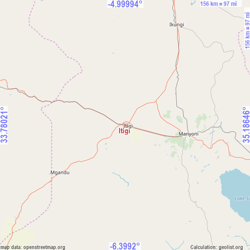
Itigi GPS coordinates[2]
5° 42' 0" South, 34° 28' 59.988" East
| Map corner | latitude | longitude |
|---|---|---|
| Upper-left | -4.99994°, | 33.78021° |
| Center: | -5.7°, | 34.48333° |
| Lower-right: | -6.3992°, | 35.18646° |
| Map W x H: | 155.6×155.6 km | = 96.7×96.7mi |
| max Lat: | -1.14389° ⇑52.8% North |
| Itigi: | -5.7° |
| min Lat: | ⇓47.2% South -11.36667° |
| min Long | Itigi | max Long |
| 29.62667° | 34.48333° | 40.33333° |
| W 40.6%⇐ | ⇒59.4% E |
Elevation
Elevation of Itigi is 1300 m = 4265 ft, and this is 357.2 m = 1172 ft above average elevation for this country.
| Max E: |
2377 m = 7799 ft | 28.3% |
| Itigi | 1300 m 4265 ft | |
| Avg. | 942.8 m = 3093 ft | |
Min E: |
0 m = 0 ft | 71.7% |
See also: Tanzania elevation on elevation.city.
Geographical zone
Itigi is located in South Torrid zone (between Equator and Tropic of Capricorn). Distance of Equator is 633.8 km =393.8 mi to North.| Distance of | km | miles | from Itigi |
|---|---|---|---|
| Equator | 633.8 | 393.8 | to North |
| Tropic Capricorn | 1972.1 | 1225.4 | to South |
| Antarctic Circle | 6767.4 | 4205.1 | to South |
| South Pole | 9373.3 | 5824.3 | to South |


Nearby cities:
15 places around Itigi: (largest is in red/bold)
• Dodoma
148.5 km =92.3 mi,  110°
110°
• Igugunu
127.1 km =79 mi,  7°
7°
• Ikungi
70.4 km =43.7 mi,  26°
26°
• Ilongero
122.5 km =76.1 mi,  20°
20°
• Kilimatinde
54.3 km =33.7 mi, 107°
• Kintinku
85.4 km =53.1 mi,  103°
103°
• Kisasa
154.1 km =95.8 mi, 110°
• Mgandu
47.7 km =29.6 mi,  234°
234°
• Mtinko
134.2 km =83.4 mi, 17°
• Mungaa
92.8 km =57.7 mi, 28°
• Ndago
123.2 km =76.6 mi,  353°
353°
• Puma
82.6 km =51.3 mi, 19°
• Sepuka
105.8 km =65.7 mi,  3°
3°
• Shelui
151.5 km =94.1 mi, 348°
• Singida
102.4 km =63.6 mi, 16°
Sources, notices
• [Note1] Compared only with cities in Tanzania existing in our database
• [Src1] Map data: © OpenStreetMap contributors (CC-BY-SA)
• [Src2] Other city data from geonames.org with taken over terms of usage.
• [Src3] Geographical zone / Annual Mean Temperature by Robert A. Rohde @ Wikipedia
