Kintinku geodata
Kintinku (Singida) is a populated place; located in Tanzania in Africa/Dar_es_Salaam (GMT+3) time zone. With population of 7,906 people, there are 254 cities with bigger population in this country. Compared to other cities in Tanzania, 54.5% of cities are located further ↑North; 50.3% of cities are located further →East and 62.9% of cities have higher elevation than Kintinku. Note1


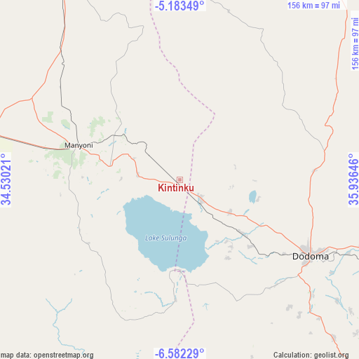
Kintinku GPS coordinates[2]
5° 52' 59.988" South, 35° 13' 59.988" East
| Map corner | latitude | longitude |
|---|---|---|
| Upper-left | -5.18349°, | 34.53021° |
| Center: | -5.88333°, | 35.23333° |
| Lower-right: | -6.58229°, | 35.93646° |
| Map W x H: | 155.5×155.5 km | = 96.6×96.6mi |
| max Lat: | -1.14389° ⇑54.5% North |
| Kintinku: | -5.88333° |
| min Lat: | ⇓45.5% South -11.36667° |
| min Long | Kintinku | max Long |
| 29.62667° | 35.23333° | 40.33333° |
| W 49.7%⇐ | ⇒50.3% E |
Elevation
Elevation of Kintinku is 848 m = 2782 ft, and this is 94.8 m = 311 ft below average elevation for this country.
| Max E: |
2377 m = 7799 ft | 62.9% |
| Avg. | 942.8 m = 3093 ft | |
| Kintinku | 848 m = 2782 ft | |
Min E: |
0 m = 0 ft | 37.1% |
See also: Tanzania elevation on elevation.city.
Geographical zone
Kintinku is located in South Torrid zone (between Equator and Tropic of Capricorn). Distance of Equator is 654.2 km =406.5 mi to North.| Distance of | km | miles | from Kintinku |
|---|---|---|---|
| Equator | 654.2 | 406.5 | to North |
| Tropic Capricorn | 1951.8 | 1212.8 | to South |
| Antarctic Circle | 6747 | 4192.4 | to South |
| South Pole | 9352.9 | 5811.6 | to South |


Nearby cities:
15 places around Kintinku: (largest is in red/bold)
• Dodoma
64.5 km =40.1 mi,  119°
119°
• Ikungi
98.1 km =61 mi,  328°
328°
• Ilongero
141.2 km =87.7 mi,  343°
343°
• Itigi
85.4 km =53.1 mi,  283°
283°
• Kilimatinde
31.6 km =19.6 mi, 276°
• Kisasa
69.8 km =43.4 mi, 117°
• Kondoa
125.1 km =77.7 mi,  29°
29°
• Kongwa
135.5 km =84.2 mi,  105°
105°
• Mgandu
121.9 km =75.7 mi,  266°
266°
• Mpwapwa
147.6 km =91.7 mi, 110°
• Msanga
90.4 km =56.2 mi,  101°
101°
• Mungaa
109 km =67.7 mi, 339°
• Puma
112.7 km =70 mi, 330°
• Sepuka
147.9 km =91.9 mi, 328°
• Singida
130.4 km =81 mi, 335°
Sources, notices
• [Note1] Compared only with cities in Tanzania existing in our database
• [Src1] Map data: © OpenStreetMap contributors (CC-BY-SA)
• [Src2] Other city data from geonames.org with taken over terms of usage.
• [Src3] Geographical zone / Annual Mean Temperature by Robert A. Rohde @ Wikipedia
