Dunda geodata
Dunda (Mbeya) is a populated place; located in Tanzania in Africa/Dar_es_Salaam (GMT+3) time zone. With population of 14,080 people, there are 191 cities with bigger population in this country. Compared to other cities in Tanzania, 75.2% of cities are located further ↑North; 61.9% of cities are located further →East and 51.4% of cities have higher elevation than Dunda. Note1


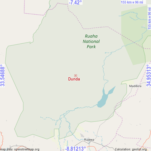
Dunda GPS coordinates[2]
8° 7' 0.012" South, 34° 15' 0" East
| Map corner | latitude | longitude |
|---|---|---|
| Upper-left | -7.42°, | 33.54688° |
| Center: | -8.11667°, | 34.25° |
| Lower-right: | -8.81213°, | 34.95313° |
| Map W x H: | 154.8×154.8 km | = 96.2×96.2mi |
| max Lat: | -1.14389° ⇑75.2% North |
| Dunda: | -8.11667° |
| min Lat: | ⇓24.8% South -11.36667° |
| min Long | Dunda | max Long |
| 29.62667° | 34.25° | 40.33333° |
| W 38.1%⇐ | ⇒61.9% E |
Elevation
Elevation of Dunda is 1124 m = 3688 ft, and this is 181.2 m = 594 ft above average elevation for this country.
| Max E: |
2377 m = 7799 ft | 51.4% |
| Dunda | 1124 m 3688 ft | |
| Avg. | 942.8 m = 3093 ft | |
Min E: |
0 m = 0 ft | 48.6% |
See also: Tanzania elevation on elevation.city.
Geographical zone
Dunda is located in South Torrid zone (between Equator and Tropic of Capricorn). Distance of Equator is 902.5 km =560.8 mi to North.| Distance of | km | miles | from Dunda |
|---|---|---|---|
| Equator | 902.5 | 560.8 | to North |
| Tropic Capricorn | 1703.4 | 1058.4 | to South |
| Antarctic Circle | 6498.7 | 4038.1 | to South |
| South Pole | 9104.6 | 5657.3 | to South |


Nearby cities:
15 places around Dunda: (largest is in red/bold)
• Chimala
85.9 km =53.4 mi,  196°
196°
• Igurusi
92.6 km =57.5 mi,  208°
208°
• Ilembula
94.5 km =58.7 mi,  157°
157°
• Kandete
125.1 km =77.7 mi, 203°
• Kiwira
140.9 km =87.6 mi, 213°
• Mafinga
131.8 km =81.9 mi,  43°
43°
• Makumbako
103.7 km =64.4 mi,  141°
141°
• Makungu
132.7 km =82.5 mi,  121°
121°
• Malangali
82.8 km =51.4 mi,  127°
127°
• Matamba
101.3 km =62.9 mi, 197°
• Mbeya
123.8 km =76.9 mi,  225°
225°
• Mtwango
116.9 km =72.6 mi,  148°
148°
• Rujewa
66.5 km =41.3 mi,  167°
167°
• Tukuyu
142.2 km =88.4 mi, 207°
• Ulenje
110.1 km =68.4 mi, 214°
Sources, notices
• [Note1] Compared only with cities in Tanzania existing in our database
• [Src1] Map data: © OpenStreetMap contributors (CC-BY-SA)
• [Src2] Other city data from geonames.org with taken over terms of usage.
• [Src3] Geographical zone / Annual Mean Temperature by Robert A. Rohde @ Wikipedia
