Verkhniy Yasenov geodata
Verkhniy Yasenov (Ivano-Frankivsk) is a populated place; located in Ukraine in Europe/Kiev (GMT+3) time zone. With population of 1,205 people, there are 1294 cities with bigger population in this country. Compared to other cities in Ukraine, 53.2% of cities are located further ↑North; 86.2% of cities are located further →East and 98.4% of cities have lower elevation than Verkhniy Yasenov. Note1


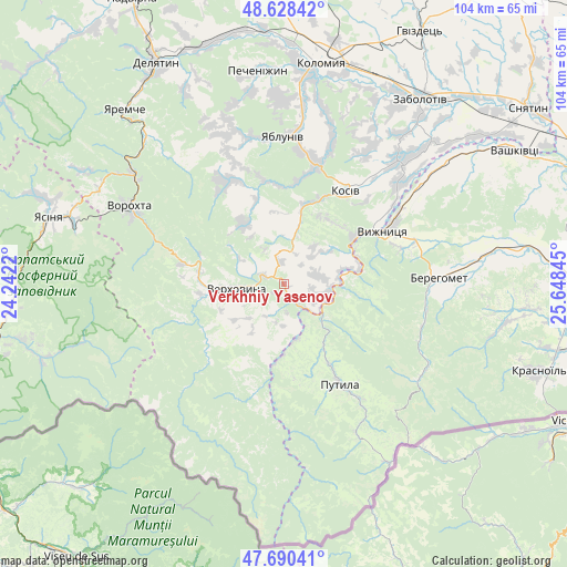
Verkhniy Yasenov GPS coordinates[2]
48° 9' 41.616" North, 24° 56' 43.152" East
| Map corner | latitude | longitude |
|---|---|---|
| Upper-left | 48.62842°, | 24.2422° |
| Center: | 48.16156°, | 24.94532° |
| Lower-right: | 47.69041°, | 25.64845° |
| Map W x H: | 104.3×104.3 km | = 64.8×64.8mi |
| max Lat: | 52.18903° ⇑53.2% North |
| Verkhniy Yasenov: | 48.16156° |
| min Lat: | ⇓46.8% South 44.39214° |
| min Long | Verkhniy Yaseno | max Long |
| 22.20555° | 24.94532° | 40.13222° |
| W 13.8%⇐ | ⇒86.2% E |
Elevation
Elevation of Verkhniy Yasenov is 532 m = 1745 ft, and this is 376.2 m = 1234 ft above average elevation for this country.
| Max E: |
886 m = 2907 ft | 1.6% |
| Verkhniy Yasenov | 532 m 1745 ft | |
| Avg. | 155.8 m = 511 ft | |
Min E: |
-3 m = -10 ft | 98.4% |
See also: Ukraine elevation on elevation.city.
Geographical zone
Verkhniy Yasenov is located in North temperate zone (between Tropic of Cancer and the Arctic Circle). Distance of this North polar circle is 2046.1 km =1271.4 mi to North.| Distance of | km | miles | from Verkhniy Yasenov |
|---|---|---|---|
| North Pole | 4652 | 2890.6 | to North |
| Arctic Circle | 2046.1 | 1271.4 | to North |
| Tropic Cancer | 2749.1 | 1708.2 | to South |
| Equator | 5355.1 | 3327.5 | to South |


Nearby cities:
15 places around Verkhniy Yasenov: (largest is in red/bold)
• Berehomet
30 km =18.6 mi,  86°
86°
• Ispas
28.6 km =17.8 mi,  58°
58°
• Khymchyn
29.2 km =18.1 mi,  30°
30°
• Kosiv
20 km =12.4 mi, 33°
• Kosmach
20.9 km =13 mi,  333°
333°
• Krivopol’ye
18.8 km =11.7 mi,  281°
281°
• Kuty
20.4 km =12.7 mi, 58°
• Putyla
22.2 km =13.8 mi,  150°
150°
• Rechka
13.2 km =8.2 mi,  356°
356°
• Rozhniv
30.8 km =19.1 mi,  42°
42°
• Sheshory
19.2 km =11.9 mi,  8°
8°
• Stari Kuty
20.8 km =12.9 mi,  54°
54°
• Verkhovyna
11.5 km =7.1 mi,  266°
266°
• Vyzhnytsya
20.8 km =12.9 mi, 62°
• Yabluniv
27 km =16.8 mi, 358°
Sources, notices
• [Note1] Compared only with cities in Ukraine existing in our database
• [Src1] Map data: © OpenStreetMap contributors (CC-BY-SA)
• [Src2] Other city data from geonames.org with taken over terms of usage.
• [Src3] Geographical zone / Annual Mean Temperature by Robert A. Rohde @ Wikipedia
