Novoselytsya geodata
Novoselytsya (Khmelnytskyi) is a populated place; located in Ukraine in Europe/Kiev (GMT+3) time zone. With population of 3,185 people, there are 890 cities with bigger population in this country. Compared to other cities in Ukraine, 84.8% of cities are located further ↓South; 77.1% of cities are located further →East and 78% of cities have lower elevation than Novoselytsya. Note1


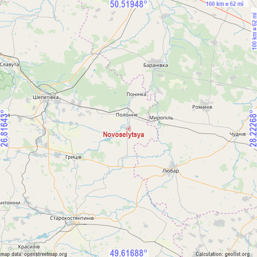
Novoselytsya GPS coordinates[2]
50° 4' 13.08" North, 27° 31' 10.38" East
| Map corner | latitude | longitude |
|---|---|---|
| Upper-left | 50.51948°, | 26.81643° |
| Center: | 50.0703°, | 27.51955° |
| Lower-right: | 49.61688°, | 28.22268° |
| Map W x H: | 100.4×100.4 km | = 62.4×62.4mi |
| max Lat: | 52.18903° ⇑15.2% North |
| Novoselytsya: | 50.0703° |
| min Lat: | ⇓84.8% South 44.39214° |
| min Long | Novoselytsya | max Long |
| 22.20555° | 27.51955° | 40.13222° |
| W 22.9%⇐ | ⇒77.1% E |
Elevation
Elevation of Novoselytsya is 239 m = 784 ft, and this is 83.2 m = 273 ft above average elevation for this country.
| Max E: |
886 m = 2907 ft | 22% |
| Novoselytsya | 239 m 784 ft | |
| Avg. | 155.8 m = 511 ft | |
Min E: |
-3 m = -10 ft | 78% |
See also: Ukraine elevation on elevation.city.
Geographical zone
Novoselytsya is located in North temperate zone (between Tropic of Cancer and the Arctic Circle). Distance of this North polar circle is 1833.9 km =1139.5 mi to North.| Distance of | km | miles | from Novoselytsya |
|---|---|---|---|
| North Pole | 4439.8 | 2758.8 | to North |
| Arctic Circle | 1833.9 | 1139.5 | to North |
| Tropic Cancer | 2961.4 | 1840.1 | to South |
| Equator | 5567.3 | 3459.4 | to South |


Nearby cities:
15 places around Novoselytsya: (largest is in red/bold)
• Antoniny
54.3 km =33.7 mi,  237°
237°
• Baranivka
27.2 km =16.9 mi,  21°
21°
• Bykivka
41.3 km =25.7 mi,  53°
53°
• Chudniv
42.7 km =26.5 mi,  92°
92°
• Dovbysh
47.4 km =29.5 mi,  44°
44°
• Izyaslav
50.1 km =31.1 mi,  276°
276°
• Liubar
23.9 km =14.9 mi,  134°
134°
• Polonne
6 km =3.7 mi,  354°
354°
• Polyanka
24.1 km =15 mi,  29°
29°
• Poninka
12.8 km =8 mi,  5°
5°
• Romaniv
30.6 km =19 mi,  73°
73°
• Shepetivka
34.9 km =21.7 mi,  291°
291°
• Slavuta
53.2 km =33.1 mi,  298°
298°
• Stara Syniava
52.4 km =32.6 mi,  172°
172°
• Starokostiantyniv
41.5 km =25.8 mi,  213°
213°
Sources, notices
• [Note1] Compared only with cities in Ukraine existing in our database
• [Src1] Map data: © OpenStreetMap contributors (CC-BY-SA)
• [Src2] Other city data from geonames.org with taken over terms of usage.
• [Src3] Geographical zone / Annual Mean Temperature by Robert A. Rohde @ Wikipedia
