Kalush geodata
Kalush (Ivano-Frankivsk) is a seat of a second-order administrative division; located in Ukraine in Europe/Kiev (GMT+3) time zone. With population of 67,698 people, there are 69 cities with bigger population in this country. Compared to other cities in Ukraine, 66.5% of cities are located further ↓South; 90.2% of cities are located further →East and 85.6% of cities have lower elevation than Kalush. Note1


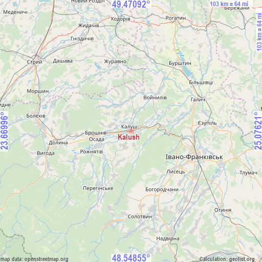
Kalush GPS coordinates[2]
49° 0' 42.732" North, 24° 22' 23.088" East
| Map corner | latitude | longitude |
|---|---|---|
| Upper-left | 49.47092°, | 23.66996° |
| Center: | 49.01187°, | 24.37308° |
| Lower-right: | 48.54855°, | 25.07621° |
| Map W x H: | 102.6×102.6 km | = 63.8×63.8mi |
| max Lat: | 52.18903° ⇑33.5% North |
| Kalush: | 49.01187° |
| min Lat: | ⇓66.5% South 44.39214° |
| min Long | Kalush | max Long |
| 22.20555° | 24.37308° | 40.13222° |
| W 9.8%⇐ | ⇒90.2% E |
Elevation
Elevation of Kalush is 279 m = 915 ft, and this is 123.2 m = 404 ft above average elevation for this country.
| Max E: |
886 m = 2907 ft | 14.4% |
| Kalush | 279 m 915 ft | |
| Avg. | 155.8 m = 511 ft | |
Min E: |
-3 m = -10 ft | 85.6% |
See also: Kalush elevation on elevation.city.
Geographical zone
Kalush is located in North temperate zone (between Tropic of Cancer and the Arctic Circle). Distance of this North polar circle is 1951.6 km =1212.7 mi to North.| Distance of | km | miles | from Kalush |
|---|---|---|---|
| North Pole | 4557.5 | 2831.9 | to North |
| Arctic Circle | 1951.6 | 1212.7 | to North |
| Tropic Cancer | 2843.7 | 1767 | to South |
| Equator | 5449.6 | 3386.2 | to South |


Nearby cities:
15 places around Kalush: (largest is in red/bold)
• Bohorodchany
25.8 km =16 mi,  152°
152°
• Broshniv-Osada
12.9 km =8 mi,  262°
262°
• Dolyna
26.9 km =16.7 mi, 260°
• Ivano-Frankivsk
26.5 km =16.5 mi,  112°
112°
• Nebyliv
24.7 km =15.3 mi,  207°
207°
• Novytsya
6 km =3.7 mi, 207°
• Petranka
13.2 km =8.2 mi,  202°
202°
• Radcha
27.3 km =17 mi,  131°
131°
• Rozhniativ
17.5 km =10.9 mi,  241°
241°
• Spas
26.4 km =16.4 mi, 239°
• Stari Bohorodchany
22.7 km =14.1 mi, 150°
• Svarychiv
14 km =8.7 mi,  246°
246°
• Uhryniv
24.2 km =15 mi, 105°
• Yamnytsya
24.5 km =15.2 mi,  95°
95°
• Zahvizdya
22.9 km =14.2 mi,  116°
116°
Sources, notices
• [Note1] Compared only with cities in Ukraine existing in our database
• [Src1] Map data: © OpenStreetMap contributors (CC-BY-SA)
• [Src2] Other city data from geonames.org with taken over terms of usage.
• [Src3] Geographical zone / Annual Mean Temperature by Robert A. Rohde @ Wikipedia
