Dolyna geodata
Dolyna (Ivano-Frankivsk) is a seat of a second-order administrative division; located in Ukraine in Europe/Kiev (GMT+3) time zone. With population of 20,696 people, there are 195 cities with bigger population in this country. Compared to other cities in Ukraine, 65.7% of cities are located further ↓South; 92.5% of cities are located further →East and 96.5% of cities have lower elevation than Dolyna. Note1


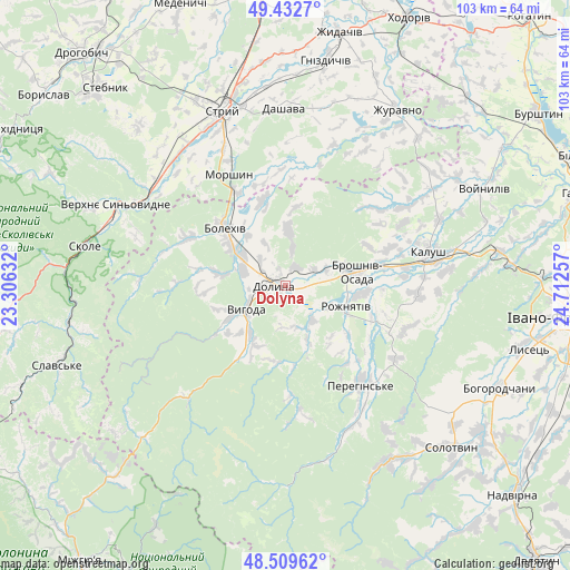
Dolyna GPS coordinates[2]
48° 58' 23.88" North, 24° 0' 33.984" East
| Map corner | latitude | longitude |
|---|---|---|
| Upper-left | 49.4327°, | 23.30632° |
| Center: | 48.9733°, | 24.00944° |
| Lower-right: | 48.50962°, | 24.71257° |
| Map W x H: | 102.6×102.6 km | = 63.8×63.8mi |
| max Lat: | 52.18903° ⇑34.3% North |
| Dolyna: | 48.9733° |
| min Lat: | ⇓65.7% South 44.39214° |
| min Long | Dolyna | max Long |
| 22.20555° | 24.00944° | 40.13222° |
| W 7.5%⇐ | ⇒92.5% E |
Elevation
Elevation of Dolyna is 404 m = 1325 ft, and this is 248.2 m = 814 ft above average elevation for this country.
| Max E: |
886 m = 2907 ft | 3.5% |
| Dolyna | 404 m 1325 ft | |
| Avg. | 155.8 m = 511 ft | |
Min E: |
-3 m = -10 ft | 96.5% |
See also: Ukraine elevation on elevation.city.
Geographical zone
Dolyna is located in North temperate zone (between Tropic of Cancer and the Arctic Circle). Distance of this North polar circle is 1955.9 km =1215.3 mi to North.| Distance of | km | miles | from Dolyna |
|---|---|---|---|
| North Pole | 4561.7 | 2834.5 | to North |
| Arctic Circle | 1955.9 | 1215.3 | to North |
| Tropic Cancer | 2839.4 | 1764.3 | to South |
| Equator | 5445.3 | 3383.6 | to South |


Nearby cities:
15 places around Dolyna: (largest is in red/bold)
• Bolekhiv
14.8 km =9.2 mi,  314°
314°
• Broshniv-Osada
14 km =8.7 mi,  79°
79°
• Duliby
32 km =19.9 mi,  333°
333°
• Kalush
26.9 km =16.7 mi, 80°
• Kosmach
36 km =22.4 mi,  133°
133°
• Morshyn
22.7 km =14.1 mi, 333°
• Nebyliv
23.2 km =14.4 mi,  139°
139°
• Novytsya
23.8 km =14.8 mi,  92°
92°
• Petranka
22.9 km =14.2 mi,  110°
110°
• Rozhniativ
12 km =7.5 mi, 110°
• Spas
10.1 km =6.3 mi,  157°
157°
• Stryi
34 km =21.1 mi,  340°
340°
• Svarychiv
13.7 km =8.5 mi,  95°
95°
• Verkhnie Synevydne
33.7 km =20.9 mi,  295°
295°
• Розгирче
28.7 km =17.8 mi, 305°
Sources, notices
• [Note1] Compared only with cities in Ukraine existing in our database
• [Src1] Map data: © OpenStreetMap contributors (CC-BY-SA)
• [Src2] Other city data from geonames.org with taken over terms of usage.
• [Src3] Geographical zone / Annual Mean Temperature by Robert A. Rohde @ Wikipedia
