Ivanivka geodata
Ivanivka (Odesa) is a seat of a second-order administrative division; located in Ukraine in Europe/Kiev (GMT+3) time zone. With population of 3,028 people, there are 938 cities with bigger population in this country. Compared to other cities in Ukraine, 63.8% of cities are located further ↑North; 64.6% of cities are located further →East and 90.1% of cities have higher elevation than Ivanivka. Note1


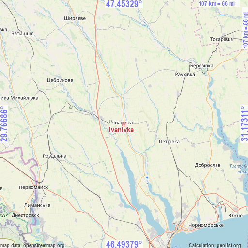
Ivanivka GPS coordinates[2]
46° 58' 32.484" North, 30° 28' 11.928" East
| Map corner | latitude | longitude |
|---|---|---|
| Upper-left | 47.45329°, | 29.76686° |
| Center: | 46.97569°, | 30.46998° |
| Lower-right: | 46.49379°, | 31.17311° |
| Map W x H: | 106.7×106.7 km | = 66.3×66.3mi |
| max Lat: | 52.18903° ⇑63.8% North |
| Ivanivka: | 46.97569° |
| min Lat: | ⇓36.2% South 44.39214° |
| min Long | Ivanivka | max Long |
| 22.20555° | 30.46998° | 40.13222° |
| W 35.4%⇐ | ⇒64.6% E |
Elevation
Elevation of Ivanivka is 19 m = 62 ft, and this is 136.8 m = 449 ft below average elevation for this country.
| Max E: |
886 m = 2907 ft | 90.1% |
| Avg. | 155.8 m = 511 ft | |
| Ivanivka | 19 m = 62 ft | |
Min E: |
-3 m = -10 ft | 9.9% |
See also: Ukraine elevation on elevation.city.
Geographical zone
Ivanivka is located in North temperate zone (between Tropic of Cancer and the Arctic Circle). Distance of this North polar circle is 2178 km =1353.3 mi to North.| Distance of | km | miles | from Ivanivka |
|---|---|---|---|
| North Pole | 4783.9 | 2972.6 | to North |
| Arctic Circle | 2178 | 1353.3 | to North |
| Tropic Cancer | 2617.3 | 1626.3 | to South |
| Equator | 5223.2 | 3245.5 | to South |


Nearby cities:
15 places around Ivanivka: (largest is in red/bold)
• Berezivka
41.8 km =26 mi,  52°
52°
• Dobroslav
40 km =24.9 mi,  116°
116°
• Krasnosilka
45.6 km =28.3 mi,  149°
149°
• Kremidivka
36 km =22.4 mi,  138°
138°
• Kryzhanivka
52.3 km =32.5 mi, 151°
• Kurisove
37.1 km =23.1 mi,  91°
91°
• Lymanske
52.2 km =32.4 mi,  227°
227°
• Pavlivka
43.8 km =27.2 mi,  236°
236°
• Rozdil’na
33.1 km =20.6 mi, 243°
• Shyryayeve
49.5 km =30.8 mi,  335°
335°
• Stepanivka
41.9 km =26 mi, 241°
• Stepove
42.4 km =26.3 mi,  224°
224°
• Teplodar
53.4 km =33.2 mi,  191°
191°
• Usatove
51.3 km =31.9 mi,  163°
163°
• Velyka Mykhaylivka
47.8 km =29.7 mi,  283°
283°
Sources, notices
• [Note1] Compared only with cities in Ukraine existing in our database
• [Src1] Map data: © OpenStreetMap contributors (CC-BY-SA)
• [Src2] Other city data from geonames.org with taken over terms of usage.
• [Src3] Geographical zone / Annual Mean Temperature by Robert A. Rohde @ Wikipedia
