Derazhnya geodata
Derazhnya (Khmelnytskyi) is a seat of a second-order administrative division; located in Ukraine in Europe/Kiev (GMT+3) time zone. With population of 10,058 people, there are 359 cities with bigger population in this country. Compared to other cities in Ukraine, 70.8% of cities are located further ↓South; 77.3% of cities are located further →East and 86% of cities have lower elevation than Derazhnya. Note1


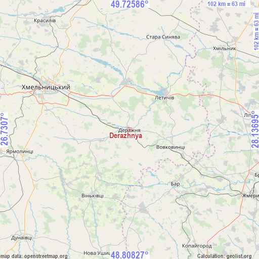
Derazhnya GPS coordinates[2]
49° 16' 9.12" North, 27° 26' 1.752" East
| Map corner | latitude | longitude |
|---|---|---|
| Upper-left | 49.72586°, | 26.7307° |
| Center: | 49.2692°, | 27.43382° |
| Lower-right: | 48.80827°, | 28.13695° |
| Map W x H: | 102×102 km | = 63.4×63.4mi |
| max Lat: | 52.18903° ⇑29.2% North |
| Derazhnya: | 49.2692° |
| min Lat: | ⇓70.8% South 44.39214° |
| min Long | Derazhnya | max Long |
| 22.20555° | 27.43382° | 40.13222° |
| W 22.7%⇐ | ⇒77.3% E |
Elevation
Elevation of Derazhnya is 281 m = 922 ft, and this is 125.2 m = 411 ft above average elevation for this country.
| Max E: |
886 m = 2907 ft | 14% |
| Derazhnya | 281 m 922 ft | |
| Avg. | 155.8 m = 511 ft | |
Min E: |
-3 m = -10 ft | 86% |
See also: Ukraine elevation on elevation.city.
Geographical zone
Derazhnya is located in North temperate zone (between Tropic of Cancer and the Arctic Circle). Distance of this North polar circle is 1923 km =1194.9 mi to North.| Distance of | km | miles | from Derazhnya |
|---|---|---|---|
| North Pole | 4528.8 | 2814.1 | to North |
| Arctic Circle | 1923 | 1194.9 | to North |
| Tropic Cancer | 2872.3 | 1784.8 | to South |
| Equator | 5478.2 | 3404 | to South |


Nearby cities:
15 places around Derazhnya: (largest is in red/bold)
• Bar
28 km =17.4 mi,  139°
139°
• Dunayivtsi
51.2 km =31.8 mi,  237°
237°
• Khmelnytskyi
35.9 km =22.3 mi,  298°
298°
• Khmilnyk
49.8 km =30.9 mi,  49°
49°
• Kopayhorod
52.7 km =32.7 mi,  149°
149°
• Krasyliv
54.1 km =33.6 mi,  321°
321°
• Letychiv
19 km =11.8 mi, 48°
• Lityn
47.3 km =29.4 mi,  82°
82°
• Medzhybizh
18.8 km =11.7 mi,  353°
353°
• Nova Ushytsya
49.4 km =30.7 mi,  193°
193°
• Novoye Sëlo
47.3 km =29.4 mi,  257°
257°
• Stara Syniava
39.5 km =24.5 mi,  19°
19°
• Suslivtsi
24.4 km =15.2 mi,  39°
39°
• Vinkivtsi
29.8 km =18.5 mi,  208°
208°
• Yarmolyntsi
44.2 km =27.5 mi, 258°
Sources, notices
• [Note1] Compared only with cities in Ukraine existing in our database
• [Src1] Map data: © OpenStreetMap contributors (CC-BY-SA)
• [Src2] Other city data from geonames.org with taken over terms of usage.
• [Src3] Geographical zone / Annual Mean Temperature by Robert A. Rohde @ Wikipedia
