Goodhue geodata
Goodhue (Minnesota) is a populated place; located in United States in America/Chicago (GMT-5) time zone. With population of 1,174 people, there are 15266 cities with bigger population in this country. Compared to other cities in United States, 90.1% of cities are located further ↓South; 65.5% of cities are located further →East and 78.5% of cities have lower elevation than Goodhue. Note1


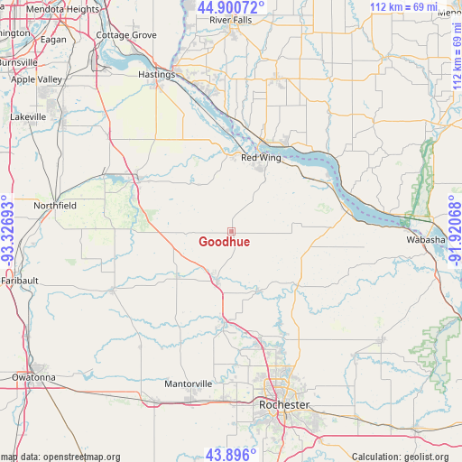
Goodhue GPS coordinates[2]
44° 24' 1.872" North, 92° 37' 25.68" West
| Map corner | latitude | longitude |
|---|---|---|
| Upper-left | 44.90072°, | -93.32693° |
| Center: | 44.40052°, | -92.6238° |
| Lower-right: | 43.896°, | -91.92068° |
| Map W x H: | 111.7×111.7 km | = 69.4×69.4mi |
| max Lat: | 71.29058° ⇑9.9% North |
| Goodhue: | 44.40052° |
| min Lat: | ⇓90.1% South 19.06759° |
| min Long | Goodhue | max Long |
| -171.73463° | -92.6238° | -66.98998° |
| W 34.5%⇐ | ⇒65.5% E |
Elevation
Elevation of Goodhue is 340 m = 1115 ft, and this is 45.2 m = 148 ft above average elevation for this country.
| Max E: |
3189 m = 10463 ft | 21.5% |
| Goodhue | 340 m 1115 ft | |
| Avg. | 294.8 m = 967 ft | |
Min E: |
-60 m = -197 ft | 78.5% |
See also: United States elevation on elevation.city.
Geographical zone
Goodhue is located in North temperate zone (between Tropic of Cancer and the Arctic Circle). Distance of this Northern Tropic circle is 2331 km =1448.4 mi to South.| Distance of | km | miles | from Goodhue |
|---|---|---|---|
| North Pole | 5070.2 | 3150.5 | to North |
| Arctic Circle | 2464.3 | 1531.2 | to North |
| Tropic Cancer | 2331 | 1448.4 | to South |
| Equator | 4936.9 | 3067.6 | to South |


Nearby cities:
15 places around Goodhue: (largest is in red/bold)
• Byron
40.9 km =25.4 mi,  182°
182°
• Cannon Falls
25.3 km =15.7 mi,  297°
297°
• Ellsworth
38.4 km =23.9 mi,  16°
16°
• Hampton
38 km =23.6 mi,  307°
307°
• Kenyon
32.1 km =19.9 mi,  243°
243°
• Lake City
28.8 km =17.9 mi,  79°
79°
• Mantorville
38.3 km =23.8 mi,  195°
195°
• Mazeppa
15.5 km =9.6 mi,  156°
156°
• Oronoco
27 km =16.8 mi, 164°
• Pepin
38.1 km =23.7 mi, 83°
• Pine Island
22.2 km =13.8 mi, 184°
• Red Wing
19.4 km =12.1 mi, 21°
• Wanamingo
17 km =10.6 mi,  231°
231°
• West Concord
35.2 km =21.9 mi,  218°
218°
• Zumbrota
12.4 km =7.7 mi, 196°
Sources, notices
• [Note1] Compared only with cities in United States existing in our database
• [Src1] Map data: © OpenStreetMap contributors (CC-BY-SA)
• [Src2] Other city data from geonames.org with taken over terms of usage.
• [Src3] Geographical zone / Annual Mean Temperature by Robert A. Rohde @ Wikipedia
