Gazli geodata
Gazli (Bukhara) is a populated place; located in Uzbekistan in Asia/Samarkand (GMT+5) time zone. With population of 11,446 people, there are 107 cities with bigger population in this country. Compared to other cities in Uzbekistan, 66.1% of cities are located further ↑North; 83.9% of cities are located further →East and 83.9% of cities have higher elevation than Gazli. Note1


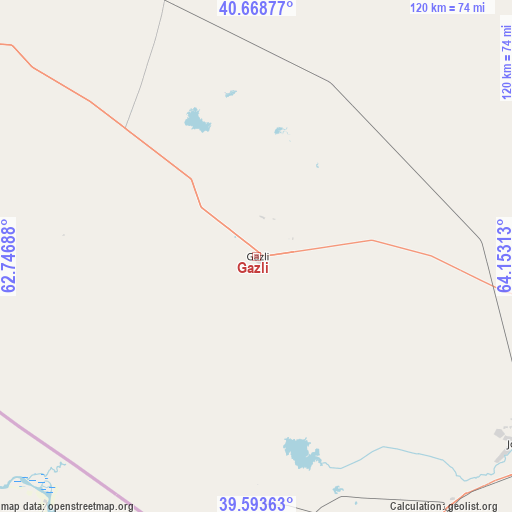
Gazli GPS coordinates[2]
40° 7' 59.988" North, 63° 27' 0" East
| Map corner | latitude | longitude |
|---|---|---|
| Upper-left | 40.66877°, | 62.74688° |
| Center: | 40.13333°, | 63.45° |
| Lower-right: | 39.59363°, | 64.15313° |
| Map W x H: | 119.5×119.5 km | = 74.3×74.3mi |
| max Lat: | 43.77877° ⇑66.1% North |
| Gazli: | 40.13333° |
| min Lat: | ⇓33.9% South 37.22417° |
| min Long | Gazli | max Long |
| 58.84596° | 63.45° | 72.76177° |
| W 16.1%⇐ | ⇒83.9% E |
Elevation
Elevation of Gazli is 187 m = 614 ft, and this is 246.8 m = 810 ft below average elevation for this country.
| Max E: |
1464 m = 4803 ft | 83.9% |
| Avg. | 433.8 m = 1423 ft | |
| Gazli | 187 m = 614 ft | |
Min E: |
50 m = 164 ft | 16.1% |
See also: Uzbekistan elevation on elevation.city.
Geographical zone
Gazli is located in North temperate zone (between Tropic of Cancer and the Arctic Circle). Distance of this Northern Tropic circle is 1856.5 km =1153.6 mi to South.| Distance of | km | miles | from Gazli |
|---|---|---|---|
| North Pole | 5544.7 | 3445.3 | to North |
| Arctic Circle | 2938.8 | 1826.1 | to North |
| Tropic Cancer | 1856.5 | 1153.6 | to South |
| Equator | 4462.4 | 2772.8 | to South |


Nearby cities:
15 places around Gazli: (largest is in red/bold)
• Bukhara
92.5 km =57.5 mi,  115°
115°
• Galaosiyo
90.4 km =56.2 mi,  109°
109°
• Ghijduwon
104.9 km =65.2 mi,  92°
92°
• Karakul’
74.3 km =46.2 mi,  153°
153°
• Kogon
104.4 km =64.9 mi, 115°
• Konimex
144.8 km =90 mi,  83°
83°
• Olot
85.4 km =53.1 mi,  159°
159°
• Qiziltepa
119.6 km =74.3 mi,  95°
95°
• Qiziltepa Shahri
117.9 km =73.3 mi, 95°
• Qorako’l
78.5 km =48.8 mi, 153°
• Qorovulbozor
134.6 km =83.6 mi, 121°
• Qorovulbozor Shahri
135.8 km =84.4 mi, 121°
• Romiton
82.3 km =51.1 mi, 105°
• Shofirkon
89.4 km =55.6 mi, 90°
• Wobkent
91.3 km =56.7 mi, 97°
Sources, notices
• [Note1] Compared only with cities in Uzbekistan existing in our database
• [Src1] Map data: © OpenStreetMap contributors (CC-BY-SA)
• [Src2] Other city data from geonames.org with taken over terms of usage.
• [Src3] Geographical zone / Annual Mean Temperature by Robert A. Rohde @ Wikipedia
