Biscucuy geodata
Biscucuy (Portuguesa) is a seat of a second-order administrative division; located in Venezuela in America/Caracas (GMT-4) time zone. In our database, there are 108 cities with bigger population. Compared to other cities in Venezuela, 55.7% of cities are located further ↑North; 64.4% of cities are located further →East and 79.6% of cities have lower elevation than Biscucuy. Note1


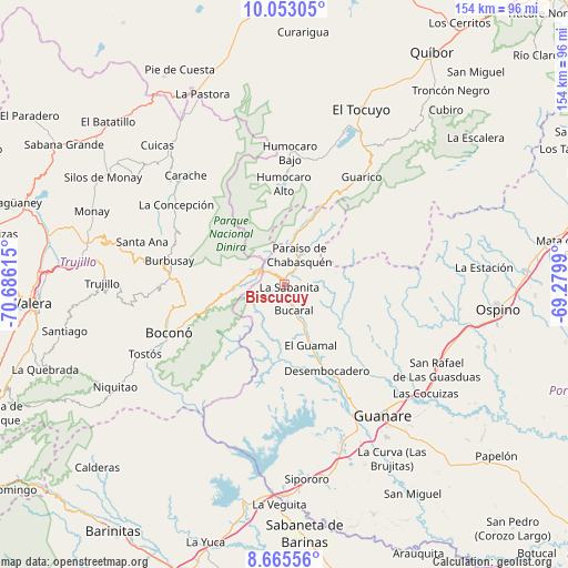
Biscucuy GPS coordinates[2]
9° 21' 36" North, 69° 58' 58.872" West
| Map corner | latitude | longitude |
|---|---|---|
| Upper-left | 10.05305°, | -70.68615° |
| Center: | 9.36°, | -69.98302° |
| Lower-right: | 8.66556°, | -69.2799° |
| Map W x H: | 154.3×154.3 km | = 95.9×95.9mi |
| max Lat: | 11.94788° ⇑55.7% North |
| Biscucuy: | 9.36° |
| min Lat: | ⇓44.3% South 1.92027° |
| min Long | Biscucuy | max Long |
| -72.55212° | -69.98302° | -60.99778° |
| W 35.6%⇐ | ⇒64.4% E |
Elevation
Elevation of Biscucuy is 639 m = 2096 ft, and this is 258.4 m = 848 ft above average elevation for this country.
| Max E: |
2986 m = 9797 ft | 20.4% |
| Biscucuy | 639 m 2096 ft | |
| Avg. | 380.6 m = 1249 ft | |
Min E: |
-4 m = -13 ft | 79.6% |
See also: Venezuela elevation on elevation.city.
Geographical zone
Biscucuy is located in North Torrid zone (between Equator and Tropic of Cancer). Distance of Equator is 1040.7 km =646.7 mi to South.| Distance of | km | miles | from Biscucuy |
|---|---|---|---|
| North Pole | 8966.3 | 5571.4 | to North |
| Arctic Circle | 6360.4 | 3952.2 | to North |
| Tropic Cancer | 1565.2 | 972.6 | to North |
| Equator | 1040.7 | 646.7 | to South |


Nearby cities:
15 places around Biscucuy: (largest is in red/bold)
• Boconoito
57.1 km =35.5 mi,  179°
179°
• Boconó
31.7 km =19.7 mi,  248°
248°
• Campo Elías
9.2 km =5.7 mi,  294°
294°
• Carache
40.2 km =25 mi,  317°
317°
• Chejendé
50.1 km =31.1 mi,  305°
305°
• El Tocuyo
51.9 km =32.2 mi,  23°
23°
• Guanare
44.2 km =27.5 mi,  143°
143°
• Masparrito
53 km =32.9 mi,  221°
221°
• Ospino
58.4 km =36.3 mi,  97°
97°
• Pampanito
57.1 km =35.5 mi,  275°
275°
• Pampán
54.9 km =34.1 mi, 279°
• Paraíso de Chabasquén
9 km =5.6 mi,  25°
25°
• Sanare
56.7 km =35.2 mi,  39°
39°
• Trujillo
49.8 km =30.9 mi,  270°
270°
• Veguitas
59.6 km =37 mi, 181°
Sources, notices
• [Note1] Compared only with cities in Venezuela existing in our database
• [Src1] Map data: © OpenStreetMap contributors (CC-BY-SA)
• [Src2] Other city data from geonames.org with taken over terms of usage.
• [Src3] Geographical zone / Annual Mean Temperature by Robert A. Rohde @ Wikipedia
