Ba Đồn geodata
Ba Đồn (Quảng Bình) is a seat of a second-order administrative division; located in Vietnam in Asia/Ho_Chi_Minh (GMT+7) time zone. In our database, there are 94 cities with bigger population. Compared to other cities in Vietnam, 51.7% of cities are located further ↓South; 60.5% of cities are located further ←West and 71.9% of cities have higher elevation than Ba Đồn. Note1


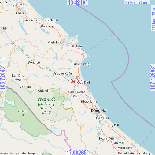
Ba Đồn GPS coordinates[2]
17° 45' 12.708" North, 106° 25' 24.78" East
| Map corner | latitude | longitude |
|---|---|---|
| Upper-left | 18.4219°, | 105.72043° |
| Center: | 17.75353°, | 106.42355° |
| Lower-right: | 17.08265°, | 107.12668° |
| Map W x H: | 148.9×148.9 km | = 92.5×92.5mi |
| max Lat: | 23.27841° ⇑48.3% North |
| Ba Đồn: | 17.75353° |
| min Lat: | ⇓51.7% South 8.65724° |
| min Long | Ba Đồn | max Long |
| 102.4579° | 106.42355° | 112.72541° |
| W 60.5%⇐ | ⇒39.5% E |
Elevation
Elevation of Ba Đồn is 8 m = 26 ft, and this is 121.5 m = 399 ft below average elevation for this country.
| Max E: |
1592 m = 5223 ft | 71.9% |
| Avg. | 129.5 m = 425 ft | |
| Ba Đồn | 8 m = 26 ft | |
Min E: |
-1 m = -3 ft | 28.1% |
See also: Vietnam elevation on elevation.city.
Geographical zone
Ba Đồn is located in North Torrid zone (between Equator and Tropic of Cancer). Distance of this Northern Tropic circle is 631.9 km =392.6 mi to North.| Distance of | km | miles | from Ba Đồn |
|---|---|---|---|
| North Pole | 8033.1 | 4991.5 | to North |
| Arctic Circle | 5427.2 | 3372.3 | to North |
| Tropic Cancer | 631.9 | 392.6 | to North |
| Equator | 1974 | 1226.6 | to South |


Nearby cities:
15 places around Ba Đồn: (largest is in red/bold)
• Cẩm Xuyên
71 km =44.1 mi,  321°
321°
• Gio Linh
115.8 km =72 mi,  142°
142°
• Hoàn Lão
22.2 km =13.8 mi,  148°
148°
• Hà Tĩnh
85.4 km =53.1 mi, 320°
• Hương Khê
89.8 km =55.8 mi,  301°
301°
• Hồ Xá
98 km =60.9 mi, 140°
• Kiến Giang
70.6 km =43.9 mi, 146°
• Kwang Binh
38 km =23.6 mi, 146°
• Kỳ Anh
36.8 km =22.9 mi,  338°
338°
• Nghèn
103.2 km =64.1 mi, 318°
• Oui Dat
48.3 km =30 mi,  276°
276°
• Quán Hàu
45.1 km =28 mi, 149°
• Thạch Hà
90.6 km =56.3 mi, 318°
• Vũ Quang
119.7 km =74.4 mi,  305°
305°
• Đồng Lê
44.6 km =27.7 mi,  288°
288°
Sources, notices
• [Note1] Compared only with cities in Vietnam existing in our database
• [Src1] Map data: © OpenStreetMap contributors (CC-BY-SA)
• [Src2] Other city data from geonames.org with taken over terms of usage.
• [Src3] Geographical zone / Annual Mean Temperature by Robert A. Rohde @ Wikipedia
