Siyāhgird geodata
Siyāhgird (Parwan) is a seat of a second-order administrative division; located in Afghanistan in Asia/Kabul (GMT+4.5) time zone. In our database, there are 93 cities with bigger population. Compared to other cities in Afghanistan, 60.5% of cities are located further ↓South; 55% of cities are located further ←West and 68.8% of cities have lower elevation than Siyāhgird. Note1


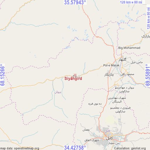
Siyāhgird GPS coordinates[2]
35° 0' 19.908" North, 68° 51' 20.808" East
| Map corner | latitude | longitude |
|---|---|---|
| Upper-left | 35.57943°, | 68.15266° |
| Center: | 35.00553°, | 68.85578° |
| Lower-right: | 34.42758°, | 69.55891° |
| Map W x H: | 128.1×128.1 km | = 79.6×79.6mi |
| max Lat: | 38.4435° ⇑39.5% North |
| Siyāhgird: | 35.00553° |
| min Lat: | ⇓60.5% South 30.15° |
| min Long | Siyāhgird | max Long |
| 61.06667° | 68.85578° | 72.318° |
| W 55%⇐ | ⇒45% E |
Elevation
Elevation of Siyāhgird is 1878 m = 6161 ft, and this is 459.6 m = 1508 ft above average elevation for this country.
| Max E: |
3068 m = 10066 ft | 31.2% |
| Siyāhgird | 1878 m 6161 ft | |
| Avg. | 1418.4 m = 4654 ft | |
Min E: |
254 m = 833 ft | 68.8% |
See also: Afghanistan elevation on elevation.city.
Geographical zone
Siyāhgird is located in North temperate zone (between Tropic of Cancer and the Arctic Circle). Distance of this Northern Tropic circle is 1286.3 km =799.3 mi to South.| Distance of | km | miles | from Siyāhgird |
|---|---|---|---|
| North Pole | 6114.8 | 3799.6 | to North |
| Arctic Circle | 3508.9 | 2180.3 | to North |
| Tropic Cancer | 1286.3 | 799.3 | to South |
| Equator | 3892.3 | 2418.6 | to South |


Nearby cities:
15 places around Siyāhgird: (largest is in red/bold)
• Bāgh-e Maīdān
40.5 km =25.2 mi,  53°
53°
• Charikar
28.8 km =17.9 mi,  88°
88°
• Dahan-e Jarf
36.8 km =22.9 mi,  256°
256°
• Deh-e Now
33.6 km =20.9 mi,  148°
148°
• Ghulām ‘Alī
34.5 km =21.4 mi,  100°
100°
• Ibrāhīm Khān
36.9 km =22.9 mi,  81°
81°
• Istālif
27.9 km =17.3 mi,  133°
133°
• Jabal os Saraj
37 km =23 mi,  70°
70°
• Kalakān
36.4 km =22.6 mi, 132°
• Mīr Bachah Kōṯ
37.2 km =23.1 mi,  139°
139°
• Qarah Bāgh Bāzār
33.3 km =20.7 mi,  120°
120°
• Qāshqāl
14.3 km =8.9 mi, 74°
• Sidqābād
45.1 km =28 mi, 87°
• Surkh Bilandī
39 km =24.2 mi,  156°
156°
• Zargarān
30.5 km =19 mi, 142°
Sources, notices
• [Note1] Compared only with cities in Afghanistan existing in our database
• [Src1] Map data: © OpenStreetMap contributors (CC-BY-SA)
• [Src2] Other city data from geonames.org with taken over terms of usage.
• [Src3] Geographical zone / Annual Mean Temperature by Robert A. Rohde @ Wikipedia
