Pul-e Khumrī geodata
Pul-e Khumrī (Baghlan) is a seat of a first-order administrative division; located in Afghanistan in Asia/Kabul (GMT+4.5) time zone. With population of 56,369 people, there are 17 cities with bigger population in this country. Compared to other cities in Afghanistan, 75.2% of cities are located further ↓South; 53.1% of cities are located further ←West and 83% of cities have higher elevation than Pul-e Khumrī. Note1


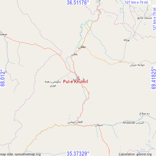
Pul-e Khumrī GPS coordinates[2]
35° 56' 40.488" North, 68° 42' 54.432" East
| Map corner | latitude | longitude |
|---|---|---|
| Upper-left | 36.51176°, | 68.012° |
| Center: | 35.94458°, | 68.71512° |
| Lower-right: | 35.37329°, | 69.41825° |
| Map W x H: | 126.6×126.6 km | = 78.7×78.7mi |
| max Lat: | 38.4435° ⇑24.8% North |
| Pul-e Khumrī: | 35.94458° |
| min Lat: | ⇓75.2% South 30.15° |
| min Long | Pul-e Khumrī | max Long |
| 61.06667° | 68.71512° | 72.318° |
| W 53.1%⇐ | ⇒46.9% E |
Elevation
Elevation of Pul-e Khumrī is 638 m = 2093 ft, and this is 780.4 m = 2560 ft below average elevation for this country.
| Max E: |
3068 m = 10066 ft | 83% |
| Avg. | 1418.4 m = 4654 ft | |
| Pul-e Khumrī | 638 m = 2093 ft | |
Min E: |
254 m = 833 ft | 17% |
See also: Pul-e Khumrī elevation on elevation.city.
Geographical zone
Pul-e Khumrī is located in North temperate zone (between Tropic of Cancer and the Arctic Circle). Distance of this Northern Tropic circle is 1390.7 km =864.1 mi to South.| Distance of | km | miles | from Pul-e Khumrī |
|---|---|---|---|
| North Pole | 6010.4 | 3734.7 | to North |
| Arctic Circle | 3404.5 | 2115.5 | to North |
| Tropic Cancer | 1390.7 | 864.1 | to South |
| Equator | 3996.7 | 2483.4 | to South |


Nearby cities:
15 places around Pul-e Khumrī: (largest is in red/bold)
• Aliabad
66.2 km =41.1 mi,  14°
14°
• Aībak
72.2 km =44.9 mi,  299°
299°
• Baghlān
20.7 km =12.9 mi,  358°
358°
• Banū
60.1 km =37.3 mi,  125°
125°
• Bāzār-e Tālah
75.8 km =47.1 mi,  215°
215°
• Būrkah
49.8 km =30.9 mi,  51°
51°
• Deh-e Şalāḩ
61 km =37.9 mi,  117°
117°
• Dowr-e Rabāţ
83.3 km =51.8 mi,  4°
4°
• Dōshī
37.4 km =23.2 mi,  184°
184°
• Khinjān
42.9 km =26.7 mi,  157°
157°
• Kunduz
88.1 km =54.7 mi, 8°
• Langar
60 km =37.3 mi,  275°
275°
• Nahrīn
39.9 km =24.8 mi,  70°
70°
• Pul-e Ḩişār
77.3 km =48 mi, 118°
• Ḩukūmatī Dahanah-ye Ghōrī
20.8 km =12.9 mi,  258°
258°
Sources, notices
• [Note1] Compared only with cities in Afghanistan existing in our database
• [Src1] Map data: © OpenStreetMap contributors (CC-BY-SA)
• [Src2] Other city data from geonames.org with taken over terms of usage.
• [Src3] Geographical zone / Annual Mean Temperature by Robert A. Rohde @ Wikipedia
