Dowr-e Rabāţ geodata
Dowr-e Rabāţ (Kunduz) is a seat of a second-order administrative division; located in Afghanistan in Asia/Kabul (GMT+4.5) time zone. In our database, there are 93 cities with bigger population. Compared to other cities in Afghanistan, 84.6% of cities are located further ↓South; 54% of cities are located further ←West and 92.9% of cities have higher elevation than Dowr-e Rabāţ. Note1


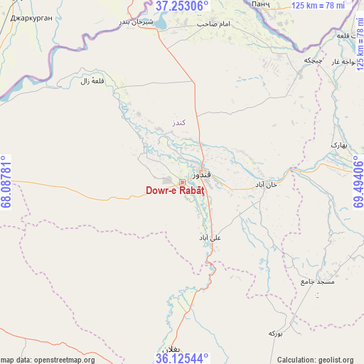
Dowr-e Rabāţ GPS coordinates[2]
36° 41' 28.752" North, 68° 47' 27.348" East
| Map corner | latitude | longitude |
|---|---|---|
| Upper-left | 37.25306°, | 68.08781° |
| Center: | 36.69132°, | 68.79093° |
| Lower-right: | 36.12544°, | 69.49406° |
| Map W x H: | 125.4×125.4 km | = 77.9×77.9mi |
| max Lat: | 38.4435° ⇑15.4% North |
| Dowr-e Rabāţ: | 36.69132° |
| min Lat: | ⇓84.6% South 30.15° |
| min Long | Dowr-e Rabāţ | max Long |
| 61.06667° | 68.79093° | 72.318° |
| W 54%⇐ | ⇒46% E |
Elevation
Elevation of Dowr-e Rabāţ is 390 m = 1280 ft, and this is 1028.4 m = 3374 ft below average elevation for this country.
| Max E: |
3068 m = 10066 ft | 92.9% |
| Avg. | 1418.4 m = 4654 ft | |
| Dowr-e Rabāţ | 390 m = 1280 ft | |
Min E: |
254 m = 833 ft | 7.1% |
See also: Afghanistan elevation on elevation.city.
Geographical zone
Dowr-e Rabāţ is located in North temperate zone (between Tropic of Cancer and the Arctic Circle). Distance of this Northern Tropic circle is 1473.8 km =915.8 mi to South.| Distance of | km | miles | from Dowr-e Rabāţ |
|---|---|---|---|
| North Pole | 5927.4 | 3683.1 | to North |
| Arctic Circle | 3321.5 | 2063.9 | to North |
| Tropic Cancer | 1473.8 | 915.8 | to South |
| Equator | 4079.7 | 2535 | to South |


Nearby cities:
15 places around Dowr-e Rabāţ: (largest is in red/bold)
• Afaki
50 km =31.1 mi,  93°
93°
• Aliabad
21.3 km =13.2 mi,  152°
152°
• Baghlān
62.8 km =39 mi,  186°
186°
• Būrkah
61.2 km =38 mi, 148°
• Dasht-e Archī
59.4 km =36.9 mi,  34°
34°
• Imām Şāḩib
56.8 km =35.3 mi,  13°
13°
• Khanabad
29 km =18 mi, 91°
• Khwājah Ghār
69.8 km =43.4 mi,  53°
53°
• Khānaqāh
66.9 km =41.6 mi,  96°
96°
• Kunduz
7.2 km =4.5 mi, 54°
• Nahrīn
76.1 km =47.3 mi,  156°
156°
• Qarāwul
58.7 km =36.5 mi,  359°
359°
• Taloqan
66.5 km =41.3 mi, 85°
• Ārt Khwājah
75.3 km =46.8 mi, 54°
• Ţāqchah Khānah
75.1 km =46.7 mi, 96°
Sources, notices
• [Note1] Compared only with cities in Afghanistan existing in our database
• [Src1] Map data: © OpenStreetMap contributors (CC-BY-SA)
• [Src2] Other city data from geonames.org with taken over terms of usage.
• [Src3] Geographical zone / Annual Mean Temperature by Robert A. Rohde @ Wikipedia
