Stêr Giyān geodata
Stêr Giyān (Paktika) is a seat of a second-order administrative division; located in Afghanistan in Asia/Kabul (GMT+4.5) time zone. In our database, there are 93 cities with bigger population. Compared to other cities in Afghanistan, 82.3% of cities are located further ↑North; 70.4% of cities are located further ←West and 80.1% of cities have lower elevation than Stêr Giyān. Note1


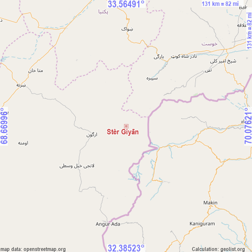
Stêr Giyān GPS coordinates[2]
32° 58' 37.344" North, 69° 22' 23.088" East
| Map corner | latitude | longitude |
|---|---|---|
| Upper-left | 33.56491°, | 68.66996° |
| Center: | 32.97704°, | 69.37308° |
| Lower-right: | 32.38523°, | 70.07621° |
| Map W x H: | 131.2×131.2 km | = 81.5×81.5mi |
| max Lat: | 38.4435° ⇑82.3% North |
| Stêr Giyān: | 32.97704° |
| min Lat: | ⇓17.7% South 30.15° |
| min Long | Stêr Giyān | max Long |
| 61.06667° | 69.37308° | 72.318° |
| W 70.4%⇐ | ⇒29.6% E |
Elevation
Elevation of Stêr Giyān is 2132 m = 6995 ft, and this is 713.6 m = 2341 ft above average elevation for this country.
| Max E: |
3068 m = 10066 ft | 19.9% |
| Stêr Giyān | 2132 m 6995 ft | |
| Avg. | 1418.4 m = 4654 ft | |
Min E: |
254 m = 833 ft | 80.1% |
See also: Afghanistan elevation on elevation.city.
Geographical zone
Stêr Giyān is located in North temperate zone (between Tropic of Cancer and the Arctic Circle). Distance of this Northern Tropic circle is 1060.8 km =659.2 mi to South.| Distance of | km | miles | from Stêr Giyān |
|---|---|---|---|
| North Pole | 6340.4 | 3939.7 | to North |
| Arctic Circle | 3734.5 | 2320.5 | to North |
| Tropic Cancer | 1060.8 | 659.2 | to South |
| Equator | 3666.7 | 2278.4 | to South |


Nearby cities:
15 places around Stêr Giyān: (largest is in red/bold)
• Dwah Manḏay
39.2 km =24.4 mi,  30°
30°
• Khōst
65 km =40.4 mi,  51°
51°
• Mutā Khān
55.5 km =34.5 mi,  301°
301°
• Nīkêh
25.4 km =15.8 mi,  338°
338°
• Sharan
63.8 km =39.6 mi,  290°
290°
• Shaykh Amīr Kêlay
61 km =37.9 mi,  55°
55°
• Shwāk
49.7 km =30.9 mi,  0°
0°
• Spērah
28.3 km =17.6 mi, 27°
• Urgun
18 km =11.2 mi,  260°
260°
• Zaṟah Sharan
57.3 km =35.6 mi, 289°
• Zerok-Alakadari
20.9 km =13 mi, 344°
• Zurmat
60.5 km =37.6 mi,  327°
327°
• Ōmnah
54.5 km =33.9 mi, 260°
• ‘Alāqahdārī Saṟōbī
33.7 km =20.9 mi,  232°
232°
• ‘Alāqahdārī Yōsuf Khēl
67.9 km =42.2 mi,  277°
277°
Sources, notices
• [Note1] Compared only with cities in Afghanistan existing in our database
• [Src1] Map data: © OpenStreetMap contributors (CC-BY-SA)
• [Src2] Other city data from geonames.org with taken over terms of usage.
• [Src3] Geographical zone / Annual Mean Temperature by Robert A. Rohde @ Wikipedia
