Surenavan geodata
Surenavan (Ararat) is a populated place; located in Armenia in Asia/Yerevan (GMT+4) time zone. With population of 2,241 people, there are 133 cities with bigger population in this country. Compared to other cities in Armenia, 91.1% of cities are located further ↑North; 70.4% of cities are located further ←West and 95.2% of cities have higher elevation than Surenavan. Note1


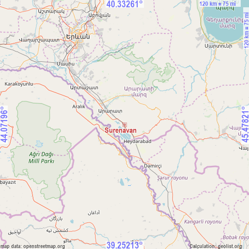
Surenavan GPS coordinates[2]
39° 47' 40.164" North, 44° 46' 30.288" East
| Map corner | latitude | longitude |
|---|---|---|
| Upper-left | 40.33261°, | 44.07196° |
| Center: | 39.79449°, | 44.77508° |
| Lower-right: | 39.25213°, | 45.47821° |
| Map W x H: | 120.1×120.1 km | = 74.6×74.6mi |
| max Lat: | 41.24358° ⇑91.1% North |
| Surenavan: | 39.79449° |
| min Lat: | ⇓8.9% South 38.90292° |
| min Long | Surenavan | max Long |
| 43.74722° | 44.77508° | 46.5446° |
| W 70.4%⇐ | ⇒29.6% E |
Elevation
Elevation of Surenavan is 821 m = 2694 ft, and this is 480.5 m = 1576 ft below average elevation for this country.
| Max E: |
2169 m = 7116 ft | 95.2% |
| Avg. | 1301.5 m = 4270 ft | |
| Surenavan | 821 m = 2694 ft | |
Min E: |
440 m = 1444 ft | 4.8% |
See also: Armenia elevation on elevation.city.
Geographical zone
Surenavan is located in North temperate zone (between Tropic of Cancer and the Arctic Circle). Distance of this Northern Tropic circle is 1818.8 km =1130.1 mi to South.| Distance of | km | miles | from Surenavan |
|---|---|---|---|
| North Pole | 5582.3 | 3468.7 | to North |
| Arctic Circle | 2976.4 | 1849.4 | to North |
| Tropic Cancer | 1818.8 | 1130.1 | to South |
| Equator | 4424.7 | 2749.4 | to South |


Nearby cities:
15 places around Surenavan: (largest is in red/bold)
• Aralez
15.5 km =9.6 mi,  319°
319°
• Ararat
7.2 km =4.5 mi,  304°
304°
• Armash
4.4 km =2.7 mi,  135°
135°
• Avshar
12.1 km =7.5 mi, 304°
• Aygavan
12.5 km =7.8 mi,  314°
314°
• Aygepat
23.6 km =14.7 mi, 320°
• Aygezard
23.1 km =14.4 mi, 320°
• Goravan
13.2 km =8.2 mi,  344°
344°
• Lusarrat
18.3 km =11.4 mi, 298°
• Noyakert
9.9 km =6.2 mi,  294°
294°
• Sisavan
15.6 km =9.7 mi, 323°
• Vedi
13.9 km =8.6 mi, 342°
• Vosketap’
14.4 km =8.9 mi, 311°
• Yeghegnavan
14.2 km =8.8 mi, 290°
• Zangakatun
23 km =14.3 mi,  82°
82°
Sources, notices
• [Note1] Compared only with cities in Armenia existing in our database
• [Src1] Map data: © OpenStreetMap contributors (CC-BY-SA)
• [Src2] Other city data from geonames.org with taken over terms of usage.
• [Src3] Geographical zone / Annual Mean Temperature by Robert A. Rohde @ Wikipedia
