Agarakadzor geodata
Agarakadzor (Vayots Dzor) is a populated place; located in Armenia in Asia/Yerevan (GMT+4) time zone. With population of 1,195 people, there are 268 cities with bigger population in this country. Compared to other cities in Armenia, 93.9% of cities are located further ↑North; 88.9% of cities are located further ←West and 55.4% of cities have higher elevation than Agarakadzor. Note1


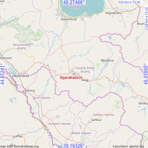
Agarakadzor GPS coordinates[2]
39° 44' 9.888" North, 45° 21' 19.908" East
| Map corner | latitude | longitude |
|---|---|---|
| Upper-left | 40.27466°, | 44.65241° |
| Center: | 39.73608°, | 45.35553° |
| Lower-right: | 39.19326°, | 46.05866° |
| Map W x H: | 120.2×120.2 km | = 74.7×74.7mi |
| max Lat: | 41.24358° ⇑93.9% North |
| Agarakadzor: | 39.73608° |
| min Lat: | ⇓6.1% South 38.90292° |
| min Long | Agarakadzor | max Long |
| 43.74722° | 45.35553° | 46.5446° |
| W 88.9%⇐ | ⇒11.1% E |
Elevation
Elevation of Agarakadzor is 1143 m = 3750 ft, and this is 158.5 m = 520 ft below average elevation for this country.
| Max E: |
2169 m = 7116 ft | 55.4% |
| Avg. | 1301.5 m = 4270 ft | |
| Agarakadzor | 1143 m = 3750 ft | |
Min E: |
440 m = 1444 ft | 44.6% |
See also: Armenia elevation on elevation.city.
Geographical zone
Agarakadzor is located in North temperate zone (between Tropic of Cancer and the Arctic Circle). Distance of this Northern Tropic circle is 1812.3 km =1126.1 mi to South.| Distance of | km | miles | from Agarakadzor |
|---|---|---|---|
| North Pole | 5588.8 | 3472.7 | to North |
| Arctic Circle | 2982.9 | 1853.5 | to North |
| Tropic Cancer | 1812.3 | 1126.1 | to South |
| Equator | 4418.2 | 2745.3 | to South |


Nearby cities:
15 places around Agarakadzor: (largest is in red/bold)
• Aghavnadzor
12.2 km =7.6 mi,  296°
296°
• Areni
14.9 km =9.3 mi,  261°
261°
• Getap’
5.1 km =3.2 mi,  307°
307°
• Gladzor
5 km =3.1 mi,  351°
351°
• Gorayk’
35.2 km =21.9 mi,  99°
99°
• Jermuk
29.3 km =18.2 mi,  66°
66°
• Malishka
4.5 km =2.8 mi, 73°
• Rrind
15.4 km =9.6 mi,  280°
280°
• Shatin
12 km =7.5 mi,  337°
337°
• Vayk’
10.9 km =6.8 mi,  118°
118°
• Vernashen
6.3 km =3.9 mi,  6°
6°
• Yeghegis
15.2 km =9.4 mi,  358°
358°
• Yeghegnadzor
3.7 km =2.3 mi,  327°
327°
• Zangakatun
28.5 km =17.7 mi,  289°
289°
• Zarrit’ap’
17.1 km =10.6 mi,  129°
129°
Sources, notices
• [Note1] Compared only with cities in Armenia existing in our database
• [Src1] Map data: © OpenStreetMap contributors (CC-BY-SA)
• [Src2] Other city data from geonames.org with taken over terms of usage.
• [Src3] Geographical zone / Annual Mean Temperature by Robert A. Rohde @ Wikipedia
