Lchap’ geodata
Lchap’ (Gegharkunik) is a populated place; located in Armenia in Asia/Yerevan (GMT+4) time zone. With population of 1,032 people, there are 299 cities with bigger population in this country. Compared to other cities in Armenia, 65.6% of cities are located further ↓South; 78% of cities are located further ←West and 89.5% of cities have lower elevation than Lchap’. Note1


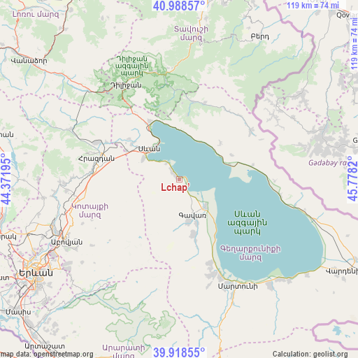
Lchap’ GPS coordinates[2]
40° 27' 20.484" North, 45° 4' 30.252" East
| Map corner | latitude | longitude |
|---|---|---|
| Upper-left | 40.98857°, | 44.37195° |
| Center: | 40.45569°, | 45.07507° |
| Lower-right: | 39.91855°, | 45.7782° |
| Map W x H: | 119×119 km | = 73.9×73.9mi |
| max Lat: | 41.24358° ⇑34.4% North |
| Lchap’: | 40.45569° |
| min Lat: | ⇓65.6% South 38.90292° |
| min Long | Lchap’ | max Long |
| 43.74722° | 45.07507° | 46.5446° |
| W 78%⇐ | ⇒22% E |
Elevation
Elevation of Lchap’ is 1931 m = 6335 ft, and this is 629.5 m = 2065 ft above average elevation for this country.
| Max E: |
2169 m = 7116 ft | 10.5% |
| Lchap’ | 1931 m 6335 ft | |
| Avg. | 1301.5 m = 4270 ft | |
Min E: |
440 m = 1444 ft | 89.5% |
See also: Armenia elevation on elevation.city.
Geographical zone
Lchap’ is located in North temperate zone (between Tropic of Cancer and the Arctic Circle). Distance of this Northern Tropic circle is 1892.3 km =1175.8 mi to South.| Distance of | km | miles | from Lchap’ |
|---|---|---|---|
| North Pole | 5508.8 | 3423 | to North |
| Arctic Circle | 2902.9 | 1803.8 | to North |
| Tropic Cancer | 1892.3 | 1175.8 | to South |
| Equator | 4498.3 | 2795.1 | to South |


Nearby cities:
15 places around Lchap’: (largest is in red/bold)
• Ddmashen
24.8 km =15.4 mi,  300°
300°
• Drakhtik
18.3 km =11.4 mi,  48°
48°
• Gagarin
19.8 km =12.3 mi, 298°
• Gandzak
16 km =9.9 mi,  168°
168°
• Gavarr
12 km =7.5 mi,  159°
159°
• Geghamavan
19.7 km =12.2 mi,  307°
307°
• Lanjaghbyur
21.5 km =13.4 mi, 164°
• Lchashen
14.1 km =8.8 mi, 300°
• Lerrnanist
23.9 km =14.9 mi,  272°
272°
• Noratus
12.4 km =7.7 mi,  134°
134°
• Sarukhan
18.8 km =11.7 mi, 165°
• Sevan
15.2 km =9.4 mi, 312°
• Tsovagyugh
22 km =13.7 mi,  334°
334°
• Tsovazard
3 km =1.9 mi,  315°
315°
• Varser
17.9 km =11.1 mi, 308°
Sources, notices
• [Note1] Compared only with cities in Armenia existing in our database
• [Src1] Map data: © OpenStreetMap contributors (CC-BY-SA)
• [Src2] Other city data from geonames.org with taken over terms of usage.
• [Src3] Geographical zone / Annual Mean Temperature by Robert A. Rohde @ Wikipedia
