Dilijan geodata
Dilijan (Tavush) is a populated place; located in Armenia in Asia/Yerevan (GMT+4) time zone. With population of 13,478 people, there are 19 cities with bigger population in this country. Compared to other cities in Armenia, 80.3% of cities are located further ↓South; 73.2% of cities are located further ←West and 50.3% of cities have lower elevation than Dilijan. Note1


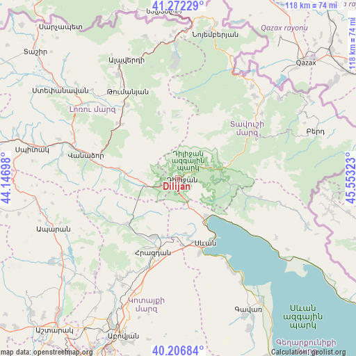
Dilijan GPS coordinates[2]
40° 44' 30.12" North, 44° 51' 0.36" East
| Map corner | latitude | longitude |
|---|---|---|
| Upper-left | 41.27229°, | 44.14698° |
| Center: | 40.7417°, | 44.8501° |
| Lower-right: | 40.20684°, | 45.55323° |
| Map W x H: | 118.5×118.5 km | = 73.6×73.6mi |
| max Lat: | 41.24358° ⇑19.7% North |
| Dilijan: | 40.7417° |
| min Lat: | ⇓80.3% South 38.90292° |
| min Long | Dilijan | max Long |
| 43.74722° | 44.8501° | 46.5446° |
| W 73.2%⇐ | ⇒26.8% E |
Elevation
Elevation of Dilijan is 1315 m = 4314 ft, and this is 13.5 m = 44 ft above average elevation for this country.
| Max E: |
2169 m = 7116 ft | 49.7% |
| Dilijan | 1315 m 4314 ft | |
| Avg. | 1301.5 m = 4270 ft | |
Min E: |
440 m = 1444 ft | 50.3% |
See also: Armenia elevation on elevation.city.
Geographical zone
Dilijan is located in North temperate zone (between Tropic of Cancer and the Arctic Circle). Distance of this Northern Tropic circle is 1924.1 km =1195.6 mi to South.| Distance of | km | miles | from Dilijan |
|---|---|---|---|
| North Pole | 5477 | 3403.2 | to North |
| Arctic Circle | 2871.1 | 1784 | to North |
| Tropic Cancer | 1924.1 | 1195.6 | to South |
| Equator | 4530.1 | 2814.9 | to South |


Nearby cities:
15 places around Dilijan: (largest is in red/bold)
• Aghavnadzor
22 km =13.7 mi,  216°
216°
• Ddmashen
19.2 km =11.9 mi,  186°
186°
• Fioletovo
11.4 km =7.1 mi,  259°
259°
• Gagarin
22.5 km =14 mi,  175°
175°
• Geghamavan
20.2 km =12.6 mi,  170°
170°
• Gosh
12.7 km =7.9 mi,  95°
95°
• Haghartsin
10.7 km =6.6 mi,  68°
68°
• Lchashen
25.6 km =15.9 mi,  164°
164°
• Lorut
22.7 km =14.1 mi,  343°
343°
• Margahovit
14 km =8.7 mi,  266°
266°
• Meghradzor
22.5 km =14 mi,  228°
228°
• Sevan
23 km =14.3 mi, 160°
• Tsovagyugh
15.2 km =9.4 mi,  142°
142°
• Varser
21.3 km =13.2 mi, 166°
• Zovaber
20.1 km =12.5 mi, 194°
Sources, notices
• [Note1] Compared only with cities in Armenia existing in our database
• [Src1] Map data: © OpenStreetMap contributors (CC-BY-SA)
• [Src2] Other city data from geonames.org with taken over terms of usage.
• [Src3] Geographical zone / Annual Mean Temperature by Robert A. Rohde @ Wikipedia
