Mbanza Congo geodata
Mbanza Congo (Zaire) is a seat of a first-order administrative division; located in Angola in Africa/Luanda (GMT+1) time zone. With population of 24,220 people, there are 17 cities with bigger population in this country. Compared to other cities in Angola, 94.4% of cities are located further ↓South; 69.4% of cities are located further →East and 72.2% of cities have higher elevation than Mbanza Congo. Note1


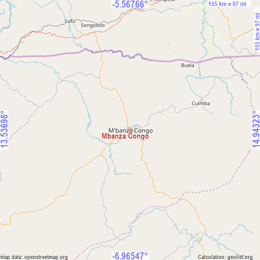
Mbanza Congo GPS coordinates[2]
6° 16' 1.308" South, 14° 14' 24.36" East
| Map corner | latitude | longitude |
|---|---|---|
| Upper-left | -5.56766°, | 13.53698° |
| Center: | -6.26703°, | 14.2401° |
| Lower-right: | -6.96547°, | 14.94323° |
| Map W x H: | 155.4×155.4 km | = 96.6×96.6mi |
| max Lat: | -5.55° ⇑5.6% North |
| Mbanza Congo: | -6.26703° |
| min Lat: | ⇓94.4% South -17.06667° |
| min Long | Mbanza Congo | max Long |
| 12.15222° | 14.2401° | 22.22466° |
| W 30.6%⇐ | ⇒69.4% E |
Elevation
Elevation of Mbanza Congo is 544 m = 1785 ft, and this is 424.9 m = 1394 ft below average elevation for this country.
| Max E: |
1895 m = 6217 ft | 72.2% |
| Avg. | 968.9 m = 3179 ft | |
| Mbanza Congo | 544 m = 1785 ft | |
Min E: |
1 m = 3 ft | 27.8% |
See also: Angola elevation on elevation.city.
Geographical zone
Mbanza Congo is located in South Torrid zone (between Equator and Tropic of Capricorn). Distance of Equator is 696.8 km =433 mi to North.| Distance of | km | miles | from Mbanza Congo |
|---|---|---|---|
| Equator | 696.8 | 433 | to North |
| Tropic Capricorn | 1909.1 | 1186.3 | to South |
| Antarctic Circle | 6704.3 | 4165.9 | to South |
| South Pole | 9310.2 | 5785.1 | to South |


Nearby cities:
9 places around Mbanza Congo: (largest is in red/bold)
• Cabinda
239.3 km =148.7 mi,  289°
289°
• Camabatela
247.6 km =153.9 mi,  149°
149°
• Caxito
264.7 km =164.5 mi,  193°
193°
• Luanda
306.5 km =190.5 mi,  201°
201°
• Malanje
431.2 km =267.9 mi, 147°
• N'zeto
185.7 km =115.4 mi,  234°
234°
• N’dalatando
345 km =214.4 mi,  167°
167°
• Soio
207.4 km =128.9 mi,  274°
274°
• Uíge
174.6 km =108.5 mi, 148°
Sources, notices
• [Note1] Compared only with cities in Angola existing in our database
• [Src1] Map data: © OpenStreetMap contributors (CC-BY-SA)
• [Src2] Other city data from geonames.org with taken over terms of usage.
• [Src3] Geographical zone / Annual Mean Temperature by Robert A. Rohde @ Wikipedia
