N’dalatando geodata
N’dalatando (Cuanza Norte) is a seat of a first-order administrative division; located in Angola in Africa/Luanda (GMT+1) time zone. With population of 383,100 people, there is 1 city with bigger population in this country. Compared to other cities in Angola, 75% of cities are located further ↓South; 66.7% of cities are located further →East and 69.4% of cities have higher elevation than N’dalatando. Note1


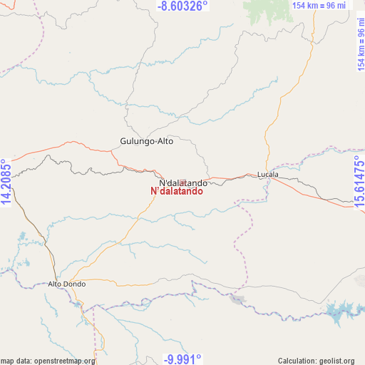
N’dalatando GPS coordinates[2]
9° 17' 52.152" South, 14° 54' 41.832" East
| Map corner | latitude | longitude |
|---|---|---|
| Upper-left | -8.60326°, | 14.2085° |
| Center: | -9.29782°, | 14.91162° |
| Lower-right: | -9.991°, | 15.61475° |
| Map W x H: | 154.3×154.3 km | = 95.9×95.9mi |
| max Lat: | -5.55° ⇑25% North |
| N’dalatando: | -9.29782° |
| min Lat: | ⇓75% South -17.06667° |
| min Long | N’dalatando | max Long |
| 12.15222° | 14.91162° | 22.22466° |
| W 33.3%⇐ | ⇒66.7% E |
Elevation
Elevation of N’dalatando is 795 m = 2608 ft, and this is 173.9 m = 571 ft below average elevation for this country.
| Max E: |
1895 m = 6217 ft | 69.4% |
| Avg. | 968.9 m = 3179 ft | |
| N’dalatando | 795 m = 2608 ft | |
Min E: |
1 m = 3 ft | 30.6% |
See also: N’dalatando elevation on elevation.city.
Geographical zone
N’dalatando is located in South Torrid zone (between Equator and Tropic of Capricorn). Distance of Equator is 1033.8 km =642.4 mi to North.| Distance of | km | miles | from N’dalatando |
|---|---|---|---|
| Equator | 1033.8 | 642.4 | to North |
| Tropic Capricorn | 1572.1 | 976.9 | to South |
| Antarctic Circle | 6367.4 | 3956.5 | to South |
| South Pole | 8973.2 | 5575.7 | to South |


Nearby cities:
15 places around N’dalatando: (largest is in red/bold)
• Benguela
399.9 km =248.5 mi,  204°
204°
• Camabatela
133.5 km =83 mi,  22°
22°
• Catumbela
378.8 km =235.4 mi, 203°
• Caxito
158.6 km =98.5 mi,  300°
300°
• Chela
338.9 km =210.6 mi,  170°
170°
• Huambo
397.2 km =246.8 mi, 166°
• Lobito
372.6 km =231.5 mi, 203°
• Luanda
191.2 km =118.8 mi,  285°
285°
• Malanje
159.1 km =98.9 mi,  99°
99°
• Mbanza Congo
345 km =214.4 mi,  347°
347°
• N'zeto
321.6 km =199.8 mi,  315°
315°
• Quibala
159.8 km =99.3 mi,  177°
177°
• Sumbe
242.2 km =150.5 mi,  208°
208°
• Uacu Cungo
230 km =142.9 mi, 174°
• Uíge
188.5 km =117.1 mi,  5°
5°
Sources, notices
• [Note1] Compared only with cities in Angola existing in our database
• [Src1] Map data: © OpenStreetMap contributors (CC-BY-SA)
• [Src2] Other city data from geonames.org with taken over terms of usage.
• [Src3] Geographical zone / Annual Mean Temperature by Robert A. Rohde @ Wikipedia
