Tapebicuá geodata
Tapebicuá (Corrientes) is a populated place; located in Argentina in America/Argentina/Cordoba (GMT-3) time zone. With population of 698 people, there are 780 cities with bigger population in this country. Compared to other cities in Argentina, 66% of cities are located further ↓South; 92.6% of cities are located further ←West and 76.9% of cities have higher elevation than Tapebicuá. Note1


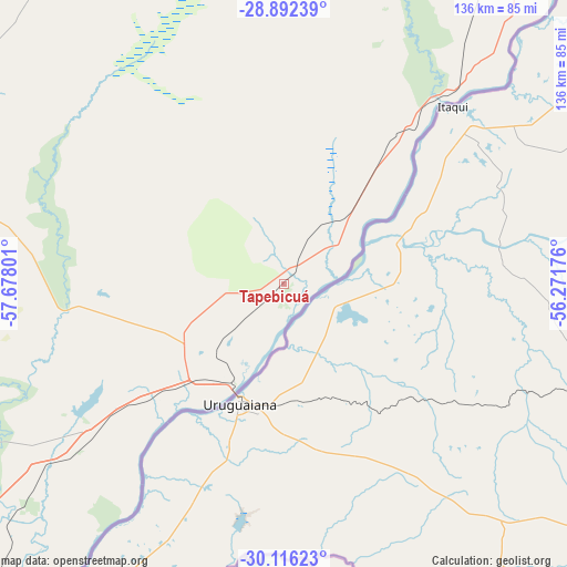
Tapebicuá GPS coordinates[2]
29° 30' 22.176" South, 56° 58' 29.568" West
| Map corner | latitude | longitude |
|---|---|---|
| Upper-left | -28.89239°, | -57.67801° |
| Center: | -29.50616°, | -56.97488° |
| Lower-right: | -30.11623°, | -56.27176° |
| Map W x H: | 136.1×136.1 km | = 84.6×84.6mi |
| max Lat: | -21.94467° ⇑34% North |
| Tapebicuá: | -29.50616° |
| min Lat: | ⇓66% South -54.81084° |
| min Long | Tapebicuá | max Long |
| -72.88605° | -56.97488° | -53.64581° |
| W 92.6%⇐ | ⇒7.4% E |
Elevation
Elevation of Tapebicuá is 66 m = 217 ft, and this is 283.3 m = 929 ft below average elevation for this country.
| Max E: |
4040 m = 13255 ft | 76.9% |
| Avg. | 349.3 m = 1146 ft | |
| Tapebicuá | 66 m = 217 ft | |
Min E: |
-2 m = -7 ft | 23.1% |
See also: Argentina elevation on elevation.city.
Geographical zone
Tapebicuá is located in South temperate zone (between Tropic of Capricorn and the Antarctic Circle). Distance of this Southern Tropic circle is 674.9 km =419.4 mi to North.| Distance of | km | miles | from Tapebicuá |
|---|---|---|---|
| Equator | 3280.8 | 2038.6 | to North |
| Tropic Capricorn | 674.9 | 419.4 | to North |
| Antarctic Circle | 4120.4 | 2560.3 | to South |
| South Pole | 6726.3 | 4179.5 | to South |


Nearby cities:
15 places around Tapebicuá: (largest is in red/bold)
• Alvear
61.4 km =38.2 mi,  42°
42°
• Bonpland
55.9 km =34.7 mi,  231°
231°
• Colonia Carlos Pellegrini
109.6 km =68.1 mi,  349°
349°
• Curuzú Cuatiá
109.1 km =67.8 mi,  253°
253°
• Felipe Yofré
139.6 km =86.7 mi,  288°
288°
• Guaviraví
20.9 km =13 mi, 42°
• Juan Pujol
132.3 km =82.2 mi,  219°
219°
• La Cruz
48.9 km =30.4 mi, 41°
• Libertad
101.1 km =62.8 mi, 233°
• Mariano I. Loza
119 km =73.9 mi,  276°
276°
• Mercedes
112.5 km =69.9 mi, 288°
• Monte Caseros
104.7 km =65.1 mi, 217°
• Paso de los Libres
25.4 km =15.8 mi,  205°
205°
• Santo Tomé
139.9 km =86.9 mi, 40°
• Yapeyú
15.7 km =9.8 mi,  74°
74°
Sources, notices
• [Note1] Compared only with cities in Argentina existing in our database
• [Src1] Map data: © OpenStreetMap contributors (CC-BY-SA)
• [Src2] Other city data from geonames.org with taken over terms of usage.
• [Src3] Geographical zone / Annual Mean Temperature by Robert A. Rohde @ Wikipedia
