Bonpland geodata
Bonpland (Corrientes) is a populated place; located in Argentina in America/Argentina/Cordoba (GMT-3) time zone. With population of 1,063 people, there are 759 cities with bigger population in this country. Compared to other cities in Argentina, 65.5% of cities are located further ↓South; 91.7% of cities are located further ←West and 72.4% of cities have higher elevation than Bonpland. Note1


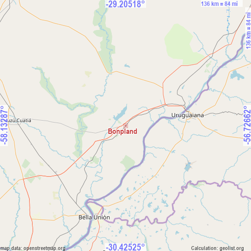
Bonpland GPS coordinates[2]
29° 49' 1.488" South, 57° 25' 47.064" West
| Map corner | latitude | longitude |
|---|---|---|
| Upper-left | -29.20518°, | -58.13287° |
| Center: | -29.81708°, | -57.42974° |
| Lower-right: | -30.42525°, | -56.72662° |
| Map W x H: | 135.7×135.7 km | = 84.3×84.3mi |
| max Lat: | -21.94467° ⇑34.5% North |
| Bonpland: | -29.81708° |
| min Lat: | ⇓65.5% South -54.81084° |
| min Long | Bonpland | max Long |
| -72.88605° | -57.42974° | -53.64581° |
| W 91.7%⇐ | ⇒8.3% E |
Elevation
Elevation of Bonpland is 75 m = 246 ft, and this is 274.3 m = 900 ft below average elevation for this country.
| Max E: |
4040 m = 13255 ft | 72.4% |
| Avg. | 349.3 m = 1146 ft | |
| Bonpland | 75 m = 246 ft | |
Min E: |
-2 m = -7 ft | 27.6% |
See also: Argentina elevation on elevation.city.
Geographical zone
Bonpland is located in South temperate zone (between Tropic of Capricorn and the Antarctic Circle). Distance of this Southern Tropic circle is 709.4 km =440.8 mi to North.| Distance of | km | miles | from Bonpland |
|---|---|---|---|
| Equator | 3315.3 | 2060 | to North |
| Tropic Capricorn | 709.4 | 440.8 | to North |
| Antarctic Circle | 4085.8 | 2538.8 | to South |
| South Pole | 6691.7 | 4158 | to South |


Nearby cities:
15 places around Bonpland: (largest is in red/bold)
• Alvear
116.9 km =72.6 mi,  46°
46°
• Chajarí
116.4 km =72.3 mi,  206°
206°
• Curuzú Cuatiá
60.4 km =37.5 mi,  272°
272°
• Guaviraví
76.6 km =47.6 mi, 49°
• Juan Pujol
78.5 km =48.8 mi, 211°
• La Cruz
104.4 km =64.9 mi, 46°
• Libertad
45.2 km =28.1 mi,  236°
236°
• Mariano I. Loza
88.7 km =55.1 mi,  303°
303°
• Mercedes
94.1 km =58.5 mi,  318°
318°
• Mocoretá
102.8 km =63.9 mi, 209°
• Monte Caseros
52.4 km =32.6 mi,  202°
202°
• Paso de los Libres
35 km =21.7 mi,  70°
70°
• Tapebicuá
55.9 km =34.7 mi, 51°
• Villa del Rosario
118.3 km =73.5 mi, 203°
• Yapeyú
70.6 km =43.9 mi,  56°
56°
Sources, notices
• [Note1] Compared only with cities in Argentina existing in our database
• [Src1] Map data: © OpenStreetMap contributors (CC-BY-SA)
• [Src2] Other city data from geonames.org with taken over terms of usage.
• [Src3] Geographical zone / Annual Mean Temperature by Robert A. Rohde @ Wikipedia
