General San Martín geodata
General San Martín (La Pampa) is a populated place; located in Argentina in America/Argentina/Salta (GMT-3) time zone. With population of 2,846 people, there are 564 cities with bigger population in this country. Compared to other cities in Argentina, 88.5% of cities are located further ↑North; 57% of cities are located further →East and 53.6% of cities have lower elevation than General San Martín. Note1


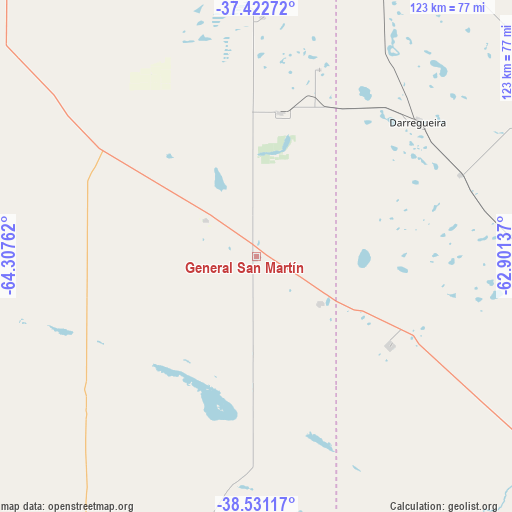
General San Martín GPS coordinates[2]
37° 58' 44.544" South, 63° 36' 16.164" West
| Map corner | latitude | longitude |
|---|---|---|
| Upper-left | -37.42272°, | -64.30762° |
| Center: | -37.97904°, | -63.60449° |
| Lower-right: | -38.53117°, | -62.90137° |
| Map W x H: | 123.2×123.2 km | = 76.6×76.6mi |
| max Lat: | -21.94467° ⇑88.5% North |
| General San Martín: | -37.97904° |
| min Lat: | ⇓11.5% South -54.81084° |
| min Long | General San Mar | max Long |
| -72.88605° | -63.60449° | -53.64581° |
| W 43%⇐ | ⇒57% E |
Elevation
Elevation of General San Martín is 165 m = 541 ft, and this is 184.3 m = 605 ft below average elevation for this country.
| Max E: |
4040 m = 13255 ft | 46.4% |
| Avg. | 349.3 m = 1146 ft | |
| General San Martín | 165 m = 541 ft | |
Min E: |
-2 m = -7 ft | 53.6% |
See also: Argentina elevation on elevation.city.
Geographical zone
General San Martín is located in South temperate zone (between Tropic of Capricorn and the Antarctic Circle). Distance of this Southern Tropic circle is 1617 km =1004.8 mi to North.| Distance of | km | miles | from General San Martín |
|---|---|---|---|
| Equator | 4222.9 | 2624 | to North |
| Tropic Capricorn | 1617 | 1004.8 | to North |
| Antarctic Circle | 3178.3 | 1974.9 | to South |
| South Pole | 5784.2 | 3594.1 | to South |


Nearby cities:
15 places around General San Martín: (largest is in red/bold)
• Alpachiri
68.6 km =42.6 mi,  347°
347°
• Ataliva Roca
121.2 km =75.3 mi,  330°
330°
• Bernasconi
14.7 km =9.1 mi,  304°
304°
• Carhué
116.3 km =72.3 mi,  39°
39°
• Cuchillo Có
99 km =61.5 mi,  246°
246°
• Doblas
99 km =61.5 mi,  338°
338°
• General Acha
110.6 km =68.7 mi,  307°
307°
• General Manuel J. Campos
57.7 km =35.9 mi,  1°
1°
• Guatraché
35.2 km =21.9 mi,  10°
10°
• Jacinto Arauz
19.3 km =12 mi,  128°
128°
• La Adela
119.2 km =74.1 mi,  200°
200°
• Macachín
93.9 km =58.3 mi,  356°
356°
• Pigüé
113.4 km =70.5 mi,  68°
68°
• Puan
88 km =54.7 mi,  56°
56°
• Río Colorado
120.6 km =74.9 mi, 200°
Sources, notices
• [Note1] Compared only with cities in Argentina existing in our database
• [Src1] Map data: © OpenStreetMap contributors (CC-BY-SA)
• [Src2] Other city data from geonames.org with taken over terms of usage.
• [Src3] Geographical zone / Annual Mean Temperature by Robert A. Rohde @ Wikipedia
