Macachín geodata
Macachín (La Pampa) is a seat of a second-order administrative division; located in Argentina in America/Argentina/Salta (GMT-3) time zone. With population of 4,768 people, there are 451 cities with bigger population in this country. Compared to other cities in Argentina, 85.7% of cities are located further ↑North; 57.3% of cities are located further →East and 50.3% of cities have higher elevation than Macachín. Note1


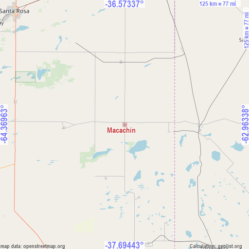
Macachín GPS coordinates[2]
37° 8' 9.528" South, 63° 39' 59.4" West
| Map corner | latitude | longitude |
|---|---|---|
| Upper-left | -36.57337°, | -64.36963° |
| Center: | -37.13598°, | -63.6665° |
| Lower-right: | -37.69443°, | -62.96338° |
| Map W x H: | 124.7×124.7 km | = 77.5×77.5mi |
| max Lat: | -21.94467° ⇑85.7% North |
| Macachín: | -37.13598° |
| min Lat: | ⇓14.3% South -54.81084° |
| min Long | Macachín | max Long |
| -72.88605° | -63.6665° | -53.64581° |
| W 42.7%⇐ | ⇒57.3% E |
Elevation
Elevation of Macachín is 143 m = 469 ft, and this is 206.3 m = 677 ft below average elevation for this country.
| Max E: |
4040 m = 13255 ft | 50.3% |
| Avg. | 349.3 m = 1146 ft | |
| Macachín | 143 m = 469 ft | |
Min E: |
-2 m = -7 ft | 49.7% |
See also: Argentina elevation on elevation.city.
Geographical zone
Macachín is located in South temperate zone (between Tropic of Capricorn and the Antarctic Circle). Distance of this Southern Tropic circle is 1523.2 km =946.5 mi to North.| Distance of | km | miles | from Macachín |
|---|---|---|---|
| Equator | 4129.1 | 2565.7 | to North |
| Tropic Capricorn | 1523.2 | 946.5 | to North |
| Antarctic Circle | 3272 | 2033.1 | to South |
| South Pole | 5877.9 | 3652.4 | to South |


Nearby cities:
15 places around Macachín: (largest is in red/bold)
• Alpachiri
28.5 km =17.7 mi,  199°
199°
• Anguil
74.4 km =46.2 mi,  335°
335°
• Ataliva Roca
56 km =34.8 mi,  281°
281°
• Bernasconi
85.7 km =53.3 mi,  184°
184°
• Carhué
80.6 km =50.1 mi,  93°
93°
• Catriló
84 km =52.2 mi,  15°
15°
• Doblas
30.6 km =19 mi,  267°
267°
• General Manuel J. Campos
36.8 km =22.9 mi,  168°
168°
• Guatraché
60.3 km =37.5 mi, 168°
• Lonquimay
74.6 km =46.4 mi,  2°
2°
• Miguel Riglos
31.4 km =19.5 mi,  356°
356°
• Salliqueló
75.9 km =47.2 mi,  55°
55°
• Santa Rosa
79.6 km =49.5 mi,  316°
316°
• Toay
81.6 km =50.7 mi,  309°
309°
• Uriburu
72.1 km =44.8 mi,  346°
346°
Sources, notices
• [Note1] Compared only with cities in Argentina existing in our database
• [Src1] Map data: © OpenStreetMap contributors (CC-BY-SA)
• [Src2] Other city data from geonames.org with taken over terms of usage.
• [Src3] Geographical zone / Annual Mean Temperature by Robert A. Rohde @ Wikipedia
