Vorderschroffenau geodata
Vorderschroffenau (Salzburg) is a populated place; located in Austria in Europe/Vienna (GMT+2) time zone. With population of 532 people, there are 2388 cities with bigger population in this country. Compared to other cities in Austria, 57% of cities are located further ↓South; 79.4% of cities are located further →East and 74.8% of cities have lower elevation than Vorderschroffenau. Note1
Administrative division(s):
- Level 1: Salzburg
- Level 2: Politischer Bezirk Salzburg-Umgebung
- Level 3: Ebenau


Vorderschroffenau GPS coordinates[2]
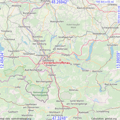
47° 47' 57.336" North, 13° 11' 14.856" East
| Map corner | latitude | longitude |
|---|---|---|
| Upper-left | 48.26942°, | 12.48434° |
| Center: | 47.79926°, | 13.18746° |
| Lower-right: | 47.3248°, | 13.89059° |
| Map W x H: | 105×105 km | = 65.2×65.2mi |
| max Lat: | 48.98333° ⇑43% North |
| Vorderschroffenau: | 47.79926° |
| min Lat: | ⇓57% South 46.48841° |
| min Long | Vorderschroffen | max Long |
| 9.57802° | 13.18746° | 17.1° |
| W 20.6%⇐ | ⇒79.4% E |
Elevation
Elevation of Vorderschroffenau is 646 m = 2119 ft, and this is 140.5 m = 461 ft above average elevation for this country.
| Max E: |
2140 m = 7021 ft | 25.2% |
| Vorderschroffenau | 646 m 2119 ft | |
| Avg. | 505.5 m = 1658 ft | |
Min E: |
118 m = 387 ft | 74.8% |
See also: Austria elevation on elevation.city.
Geographical zone
Vorderschroffenau is located in North temperate zone (between Tropic of Cancer and the Arctic Circle). Distance of this North polar circle is 2086.4 km =1296.4 mi to North.| Distance of | km | miles | from Vorderschroffenau |
|---|---|---|---|
| North Pole | 4692.3 | 2915.7 | to North |
| Arctic Circle | 2086.4 | 1296.4 | to North |
| Tropic Cancer | 2708.9 | 1683.2 | to South |
| Equator | 5314.8 | 3302.5 | to South |


Nearby cities:
15 places around Vorderschroffenau: (largest is in red/bold)
• Anger
5 km =3.1 mi,  136°
136°
• Ebenau
1.3 km =0.8 mi,  223°
223°
• Enzersberg
5.7 km =3.5 mi,  9°
9°
• Esch
8.4 km =5.2 mi,  302°
302°
• Faistenau
4.2 km =2.6 mi,  124°
124°
• Fuschl am See
8.4 km =5.2 mi,  89°
89°
• Habach
2.8 km =1.7 mi,  317°
317°
• Hof bei Salzburg
3 km =1.9 mi,  42°
42°
• Koppl
2.6 km =1.6 mi,  292°
292°
• Plainfeld
3.8 km =2.4 mi,  355°
355°
• Reitberg
6.4 km =4 mi,  339°
339°
• Schwaighofen
5.2 km =3.2 mi,  313°
313°
• Thalgau
6.8 km =4.2 mi,  46°
46°
• Unterdorf
5.9 km =3.7 mi,  30°
30°
• Vordersee
7.2 km =4.5 mi, 139°
Sources, notices
• [Note1] Compared only with cities in Austria existing in our database
• [Src1] Map data: © OpenStreetMap contributors (CC-BY-SA)
• [Src2] Other city data from geonames.org with taken over terms of usage.
• [Src3] Geographical zone / Annual Mean Temperature by Robert A. Rohde @ Wikipedia
